Clarington - Clarington East (Darlington-Clarke)
Meet at road side parking area, Darlington-Clark Town line and Darlington conc. 8.
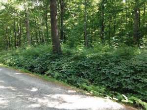
The Trail crosses small valleys here: some are wooded and some are open. Bird watching is good. Traces of the old concession road are worm into ridges between valleys.
On the Bluebird Side Trail, look for heaps of stones poled by pioneers. North of Concession 10, the trail passes between two pastures. Watch for bluebirds, tree swallows and house wrens around the wooden nest boxes, form April to August.
Fences show the 'one chain' survey width of a road allowance. Early surveyors carried a 66-foot chain to divide land into concession blocks and 200 acre farm lots.
The 'hubcap fence' on the bend of old Highway 35 is a landmark for group hikes meeting near here.
The trail crosses under busy Highway 35/115 through a tunnel build for trails.


