Clarington - Ganaraska Forest (Micro Rd)
From Hwy 115, exit at Boundary Rd (first exit north of exit to Hwy 35). Go east approx. 1.5 km to meet at Micro Rd. roadside parking.
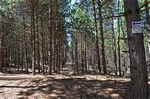
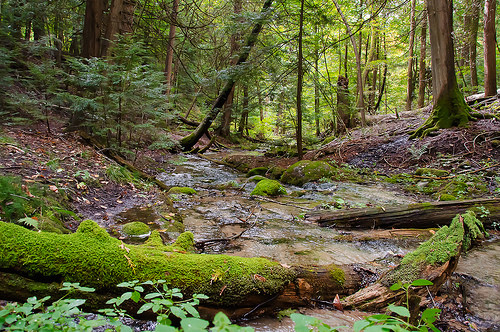
The 11,000 acre Ganaraska Forest is one of the largest blocks of forested land in southern Ontario. Today the forest is a living example of how the principles of integrated resource management can be used to balance many different uses of forested lands on a sustainable and ecologically sound basis. The forest is home to the Ganaraska Forest Outdoor Education Centre, a weekend canteen, and public washroom and shower facilities. The area provides abundant recreational opportunities and is managed for a sustainable yield of wood products.
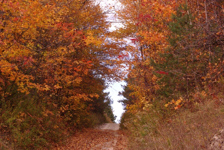
With hundreds of kilometres of trails, the Ganaraska Forest provides year-round opportunities for a variety of activities. Hiking, mountain biking, horseback riding, cross-country skiing, snowshoeing and nature appreciation are popular activities throughout the Forest.
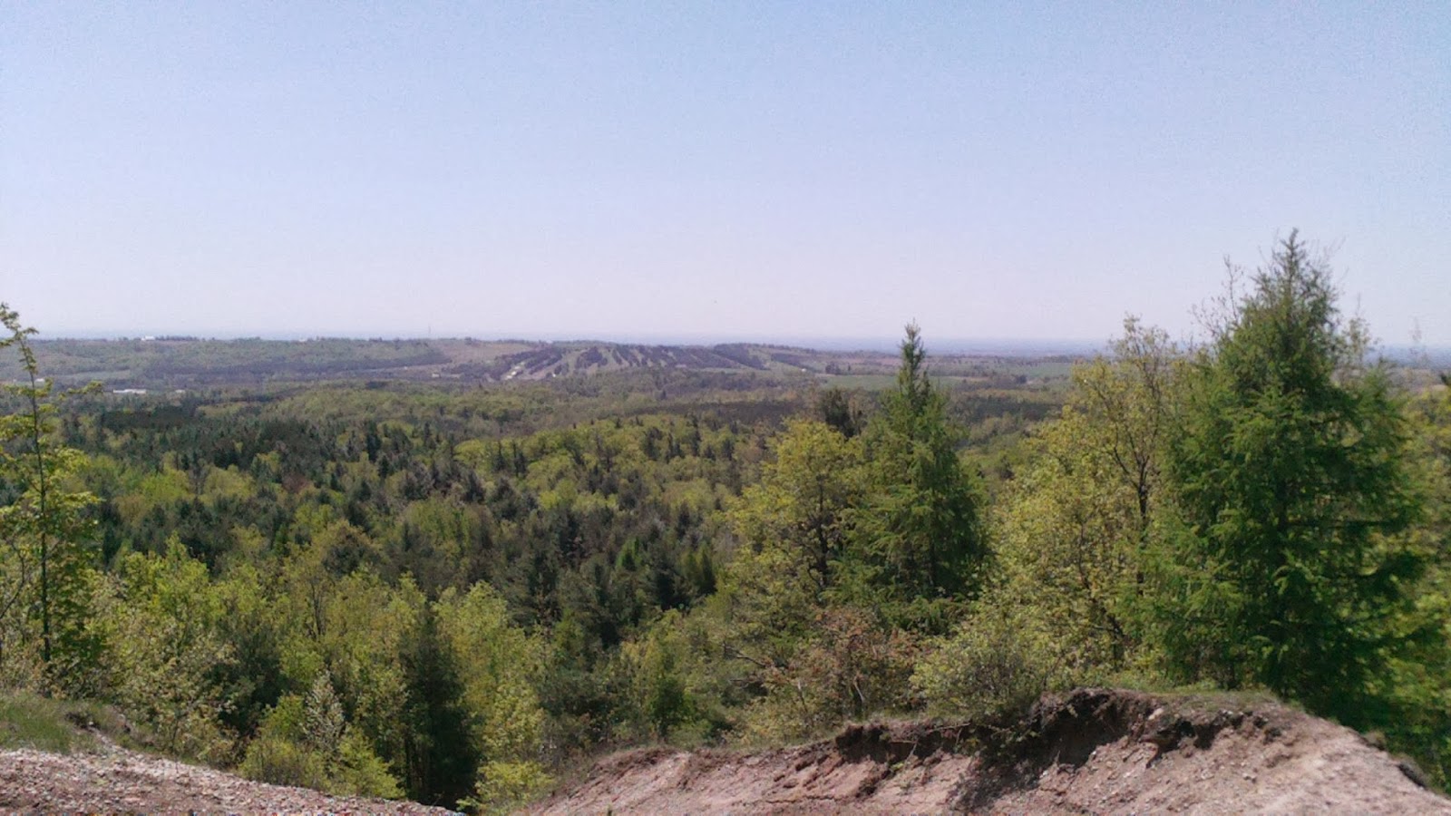
Motorized activities such as off-road motorcycle riding, ATVing and snowmobiling are permitted in the West Forest and East Forest only. The Central section of the Forest is maintained as a passive use area. The Ganaraska Forest is promoted as southern Ontario's largest forest. The Forest is approximately 50% natural and 50% man made.