Bruce Trail - Hockley Valley (Hockley Rd)
Meet at the Bruce Trail parking area on the north side of Hockley Rd. Take Airport Rd 7 km north of Hwy 9, then west 6 km on Hockley Rd to parking area.
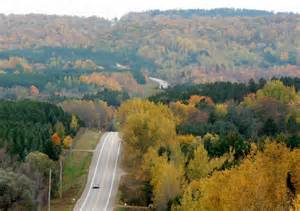
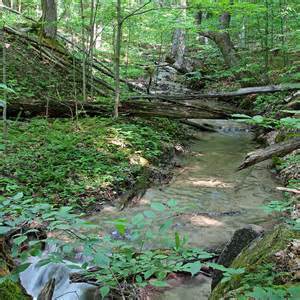
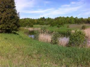
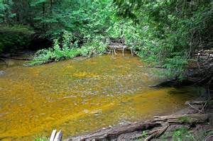
Hockley Valley is part of the Niagara Escarpment which was created by a long process of erosion. The escarpment cuts dramatically across the southern heartland of the province. Between Lake Erie and Ontario, the escarpment gives rise to Niagara Falls, then curves around Lake Ontario and reaches northward to the tip of the Bruce Peninsula and beyond, ending at Manitoulin Island. The Nottawasaga River cuts a picturesque gorge across the escarpment. Forested moraines and open meadows lie upstream, and swamp and bottomland forest spread across the valley floor, stretching for several kilometres.
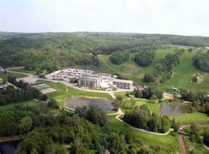
Park Facilities and Activities: Hockley Valley is part of the Niagara Parks System, and the Niagara Escarpment Biosphere Reserve. There are no visitor facilities, but Hockley Valley provides good opportunities for hiking and nature appreciation. The Bruce Trail, as well as several side trails, wind through the reserve.
Location: Six km. Northeast of Orangeville.