Uxbridge - Walker Woods West (Conc. 6. / Allbright Rd.)
Meet at parking lot on the east side of Conc 6, 2 km south of Durham Rd. 21 at Allbright Rd.
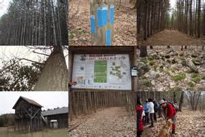
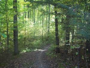
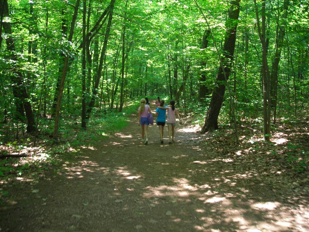
The Walker Woods Forest is a series of linked routes of multi-use trail network includes the Oak Ridges and Trans Canada trails. The system provides users with a great variety of loop alternatives to explore over 1,500 hectares of forested area and experience significant natural heritage features and breathtaking vistas.
The multi-use trails are all available for non-motorized, passive recreational use. Trail marker posts are located at major trail intersections and other key locations. The posts are oriented to the north, are numbered and have directional signage including maps to help you navigate through the forest.
As you travel through the forest you will notice that some apparent trails are not shown on the map. Toronto and Region Conservation and our local trails committee have declared these trails as surplus and have closed them to minimize impact on the natural environment. Please respect "closed trail" signs. Look for trail indicator signs that will let you know you are on an official trail and help to guide you in the correct direction. In addition, the Trans Canada and Oak Ridges trails have their own marking system.
We recommend the use of a compass when traveling on these trails if you are not familiar with the area.
Trans Canada Trail – 8.1 kilometres
This section of the Trans Canada Trail (TCT) connects the Township of Uxbridge to the City of Pickering. The trail enters Walker Woods from the north at Concession Road 7, marker number 8, and winds west and south to the Uxbridge-Pickering Townline, east of Concession Road 6.
Oak Ridges Trail – 17.8 kilometres
The Oak Ridges Trail (ORT) is marked with white blazes on trees, rocks, fences, posts and stiles. Loop or side trails are marked with blue blazes. Each blaze is a vertical rectangle, about five centimetres wide and 15 centimetres tall (two inches by six inches). A single blaze shows the direction to proceed. A double blaze indicates a direction change in the trail. The trail map shows access points to the ORT at marker numbers 3, 4, 5 and 8. Loop trails in the North Walker Woods property can be accessed from the main trail at marker numbers 3 and 4. Similarly the two loop trails in the main Walker Woods property can be accessed from the main trail running between the 6th and 7th concessions and at marker.numbers 6 and 8.
Duffins Headwaters Management Plan and Related Properties
On September 24, 1999, the TRCA Board members approved the process for preparing a comprehensive management plan for the seven properties which comprise the TRCA land holdings in the headwaters of the Duffins Creek. The properties include the Goodwood Resource Management Tract, Secord Forest and Wildlife Area, Clubine Agreement Forest, Walker Woods Tract, the former Timbers Brothers Gravel Pit, Glen Major Resource Management Tract and Claremont Field Centre.
The TRCA owns all of these lands with the exception of 72 hectares in the Glen Major Resource Management Tract, which is owned by the Ontario Heritage Foundation and managed by the TRCA. The entire planning area of the Duffins Creek Headwaters Management Plan totals 1950 hectares (19.5 km2).
The objective of the Duffins Creek Headwaters Management Plan process is to examine the lands and determine their environmental features and functions, heritage values, and their potential for recreation or other public uses. The review is used to establish a plan for the future management of the properties, recommend important land stewardship practices and identify important linkages between TRCA properties.
At the outset of the management plan process TRCA established an Advisory Committee, which included representatives from municipalities, public interest groups and local citizens. The committee has assisted TRCA staff to finalize the project Terms of Reference, determine the management zones, management recommendations and assist with public outreach.
Clubine Agreement Forest
The Clubine property is an Agreement Forest owned and managed by The Toronto and Region Conservation Authority and is currently being used by cross-country skiers, cyclists and hikers along the Oak Ridges Moraine Trail. Forest management operations have been conducted by the Ministry of Natural Resources in the past and will continue as necessary.
2440-2998 Concession Rd 6
Goodwood, Ontario L0C1A0
Canada