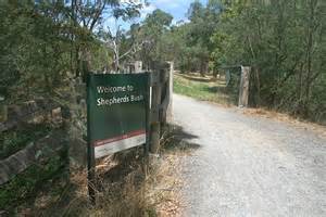
Aurora - Sheppard's Bush (Industry St.)
Meet at C.A. parking lot. Turn east on Mary St. off Industrial Parkway (south of Wellington St) , turn south on Industry Street.
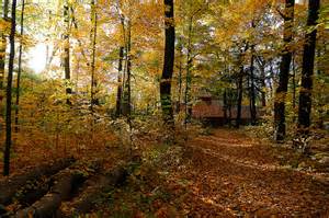
Sheppard's Bush
Sheppard’s Bush is 26 hectares (65 acres) in size, and has over three kilometres of hiking trails, thirteen soccer fields, two picnic pavillions and several historic buildings including a maple syrup evaporator hut and the Sheppard family house.
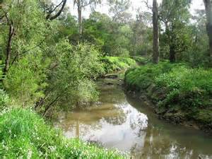
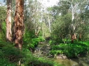
Aside from the playing fields, the majority of the property is forested, and includes mature pine plantations, mixed forest, an old sugar bush, and a ravine along the East Holland River. Sheppard’s Bush is also part of a larger network of public lands and recreation trails along the East Holland River. From here you can go as far as Holland Landing on the Nokiidaa Trail or from Palgrave to Rice Lake on the Oak Ridges Trail.
With groomed trails, a small stream and a covered pavilion, Sheppard's Bush is a delightful place to visit all year long. This beautiful woodlot, situated in the heart of Aurora, is popular with power walkers and picnickers alike.
The property was donated to the Ontario Heritage Foundation by Mr. E.R. Sheppard in 1971.
As of January 1, 2022 the property is owned by the Ontario Heritage Trust, and is now being fully managed by the Town of Aurora.
ACTIVITIES
Hiking & Walking
Cross Country Skiing
Snowshoeing & Backcountry
HOURS OF OPERATION
Year-round
CONTACT THE TRAIL
Town of Aurora, with: info@aurora.ca or 905-727-1375 (Access Aurora Customer Service) or 905-727-3123 (24-hour automated hotline)