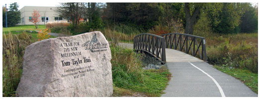
Newmarket - Nokiidaa Trail (Cane Pkwy)
Meet at parking lot, east side of Cane Pkwy, 0.4km north of Mulock Dr.
"Nokiidaa" is an Ojibwa term meaning "walking Together".
The Nokiidaa Trail links three communities (Aurora, Newmarket and East Gwillimbury), following the East Holland River.
The trail passes through town parks and green spaces, past wetlands and historic cultural sites, and has links to numerous other town trails.
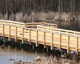
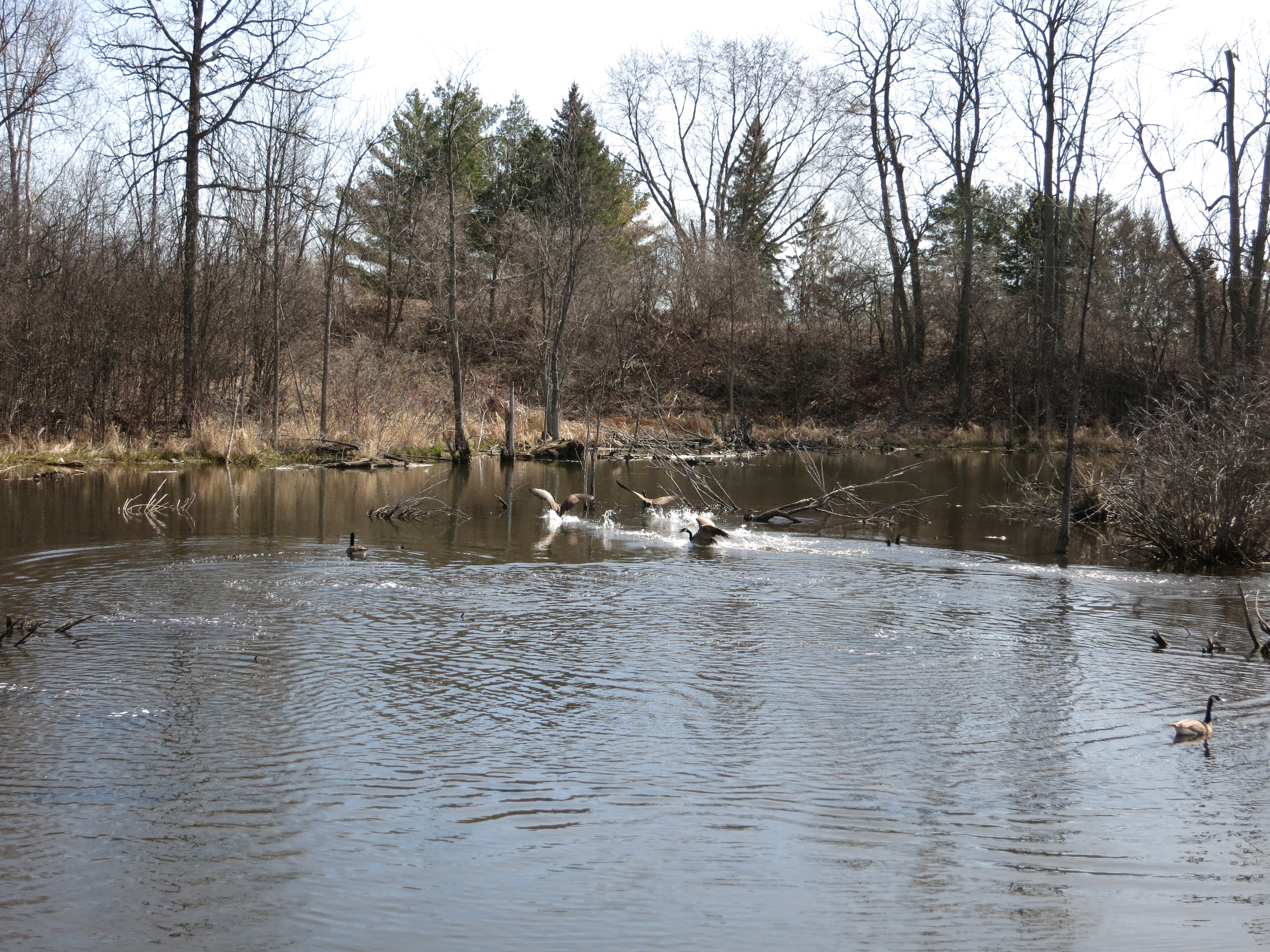
Stretching 20 kilometres from Aurora to Holland Landing, the Nokiidaa Trail System consists of a myriad of multi use trails with numerous access points. It is a convenient link through many town parks and greenspaces including Rogers Reservoir, Fairy Lake, Sheppard’s Bush and Mabel Davis to name a few. These are fabulous sites to discover a variety of trees and plant life as well as birds, fish, and a multitude of other wild animals. Most offer parking and lovely picnic areas. Activities are held year round at these stations.
Trail surfaces vary from natural, stone chip and rigid. The majority of the terrain is flat along the river valley and varies in degree of difficulty. For accomplished hikers and cyclists, the most challenging tracts are located between St. John’s Sideroad and Mulock Drive as well as from Rogers Reservoir and the Holland River.
The Nokiidaa Trail System links to the south with the Oak Ridges Moraine and is a part of the Oak Ridges Trail Association. It is also in the Ontario Trails Council, a not-for-profit organization promoting and preserving Ontario trails since 1988. This sustainable land is maintained by the individual municipalities, the Region of York and the Lake Simcoe Conservation Authority.