Newmarket - Nokiidaa Trail (Davis Dr.)
Meet in the Seniors Meeting Place parking lot, opposite the GO Station on Davis Drive.
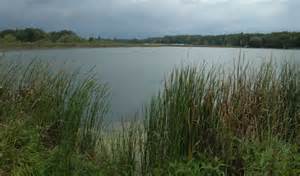
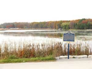
Holland Landing is a village in the town of East Gwillimbury, located in the northern part of the Regional Municipality of York, in south-central Ontario, Canada. Its major road is Yonge Street (bypassed by the former Highway 11) and the village has bus service by GO Transit route 68 and York Region Transit route 52 (Monday to Saturday service). The East Gwillimbury GO train station is in the southeast corner of Holland Landing, providing weekday commuter train service. The East Holland River runs through the village and has several marinas for recreational boats.
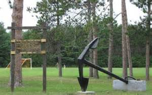
Holland Landing Conservation Area
This Conservation Area is right next door to Anchor Park in Holland Landing. A network of hiking trails leads through both pine plantation and native forest. Much of this property is underlain by sandy soil, deposited as a river delta thousands of years ago. This area was reforested by LSRCA in the 1960s to reduce erosion of the sandy soils, however in the days before European settlement, at least part of this property was a tallgrass prairie. Even now, remnant species including big bluestem and bergamot can be found along some of the trails.