King - Cold Creek Conservation Area (Conc. 11)
Meet at park entrance east side of Concession 11, 3.5 Km north from King Road.
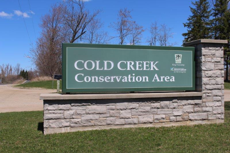
Welcome to Cold Creek Conservation Area, located in King Township, Ontario.
We are located 3.5 km north of the King Road on the 11th Concession and south of the 16th Sideroad, Township of King, Ontario.
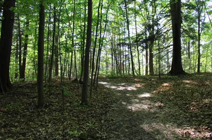
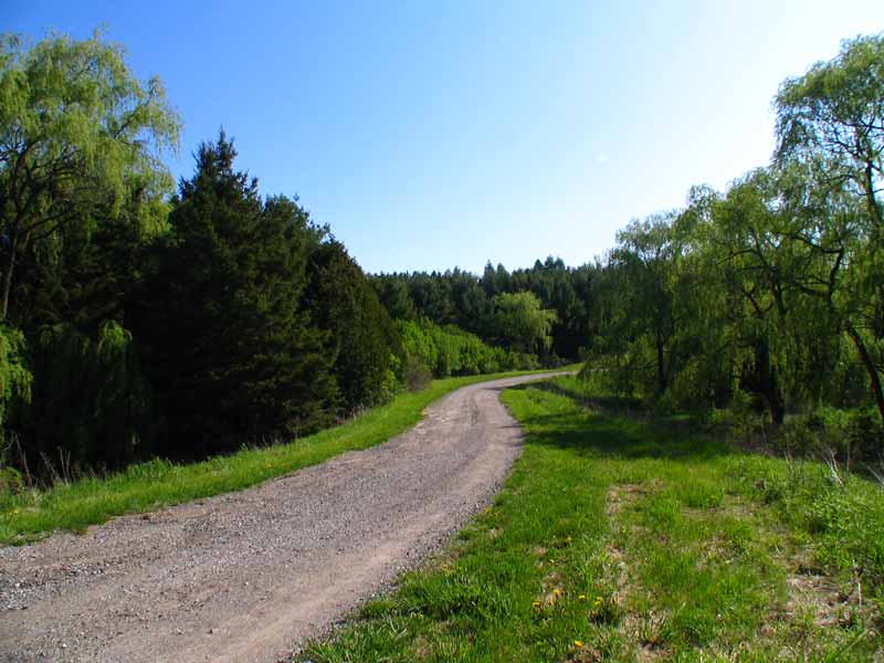
Visit Cold Creek anytime to enjoy our 6.6 km marked nature trail. Gates are open from 8:30 to 4:30 Monday to Saturday, and during special events. Outside open hours you can park your vehicles at the main gate and follow the trail arrows for hours of enjoyment.
Cold Creek Conservation Area is an ecologically diverse and sustainable natural area. It is a model of sustainability that can be achieved by protecting and enhancing the area’s natural environment while providing outdoor education, cultural and heritage experiences and recreation.
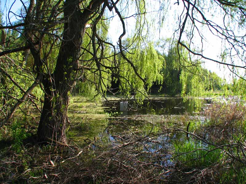
The Cold Creek Conservation Area consists of 190 hectares within the Humber River watershed (a designated Canadian Heritage River). A portion of the property lies within the “Natural Linkage” policy area of the Oak Ridges Moraine. The Conservation Area is significant due to its unique natural features. Existing mixed conifer swamp forest contains black spruce which is rare in Southern Ontario and is home to a wide array of plant and animal species.
 |
 |
 |
 |