Uxbridge - Durham Forest (Conc. 7)
Meet in the Durham Forest parking area on the east side of the 7th Conc. 1 km south of Durham Rd 21.
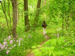
Durham Regional Forest is 596 hectares (1,473 acres) of forested property owned by the Region of Durham and managed by us. Much of this forest consists of land that was reforested in the 1920s to prevent soil erosion. Although forest management remains a priority for the Durham Regional Forest, it also provides outstanding recreational opportunities and wildlife habitat.
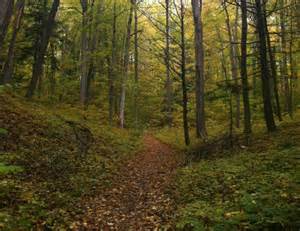
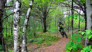
There are over 16 kilometres of trails in four marked loops, as well as numerous secondary trails throughout the main tract of Durham Forest which provide an opportunity for hiking, biking, horseback riding or skiing on the rolling topography of the Oak Ridges Moraine. The trail network in Durham Regional Forest also contributes to larger regional and national trail networks through its contribution to the Oak Ridges Trail and the Trans Canada Trail.
The forest is also part of a larger complex of public protected areas, including the East Duffins Headwaters owned by Toronto and Region Conservation Authority, and the Town of Uxbridge’s Countryside Preserve.
The main tract of the forest can be accessed from a parking lot on the 7th Concession of Uxbridge. Many of the smaller tracts, which also have recreational trails, have small parking lots on adjacent Concession roads.
Concession Road 7
Uxbridge
Canada