E2E #9 - 18th. SR & 8th. Conc. to Dufferin St. 2015-07-27
E2E hike #9: East bound from 18th. SR & 8th. Conc. to Dufferin St.
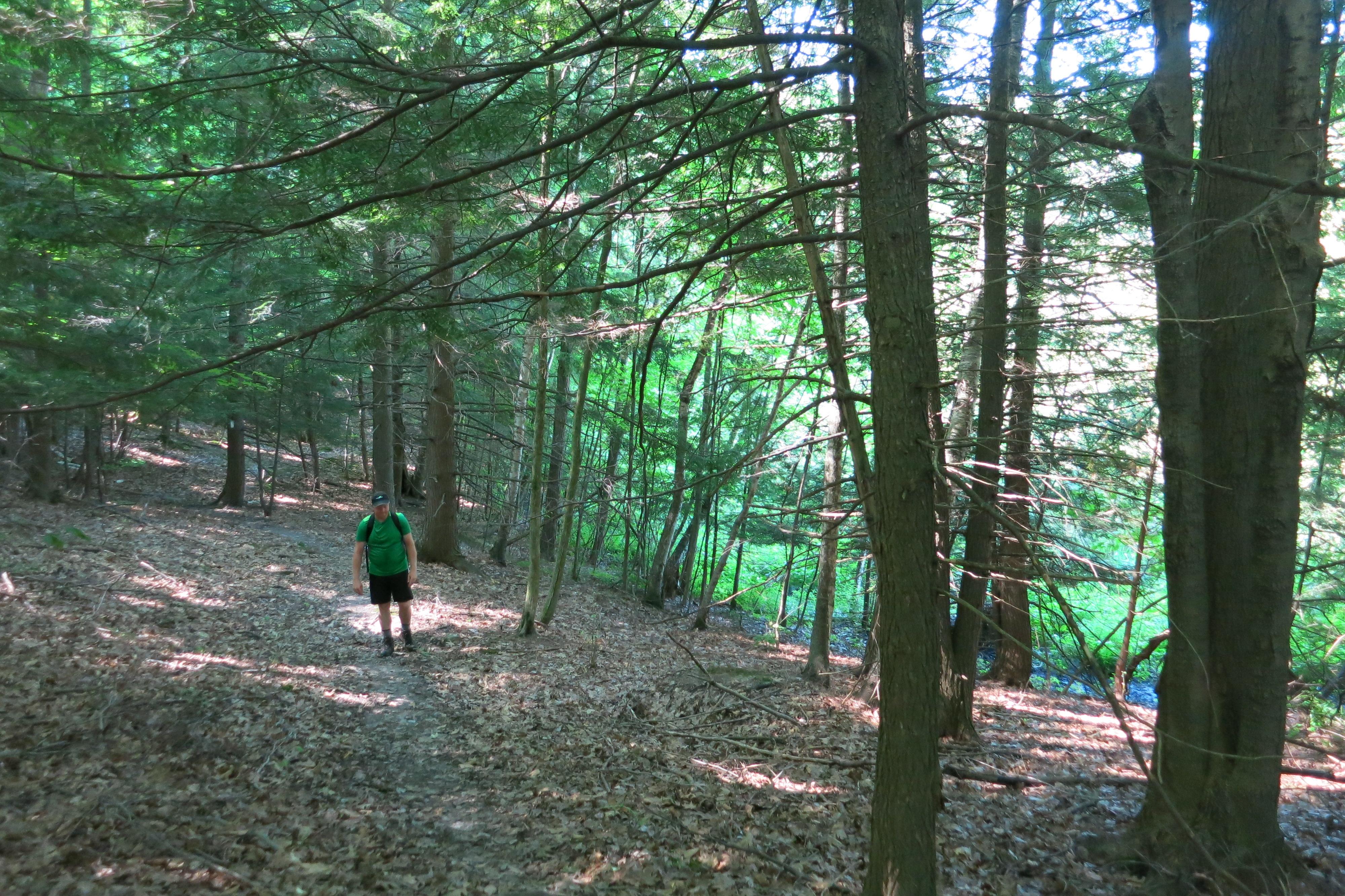
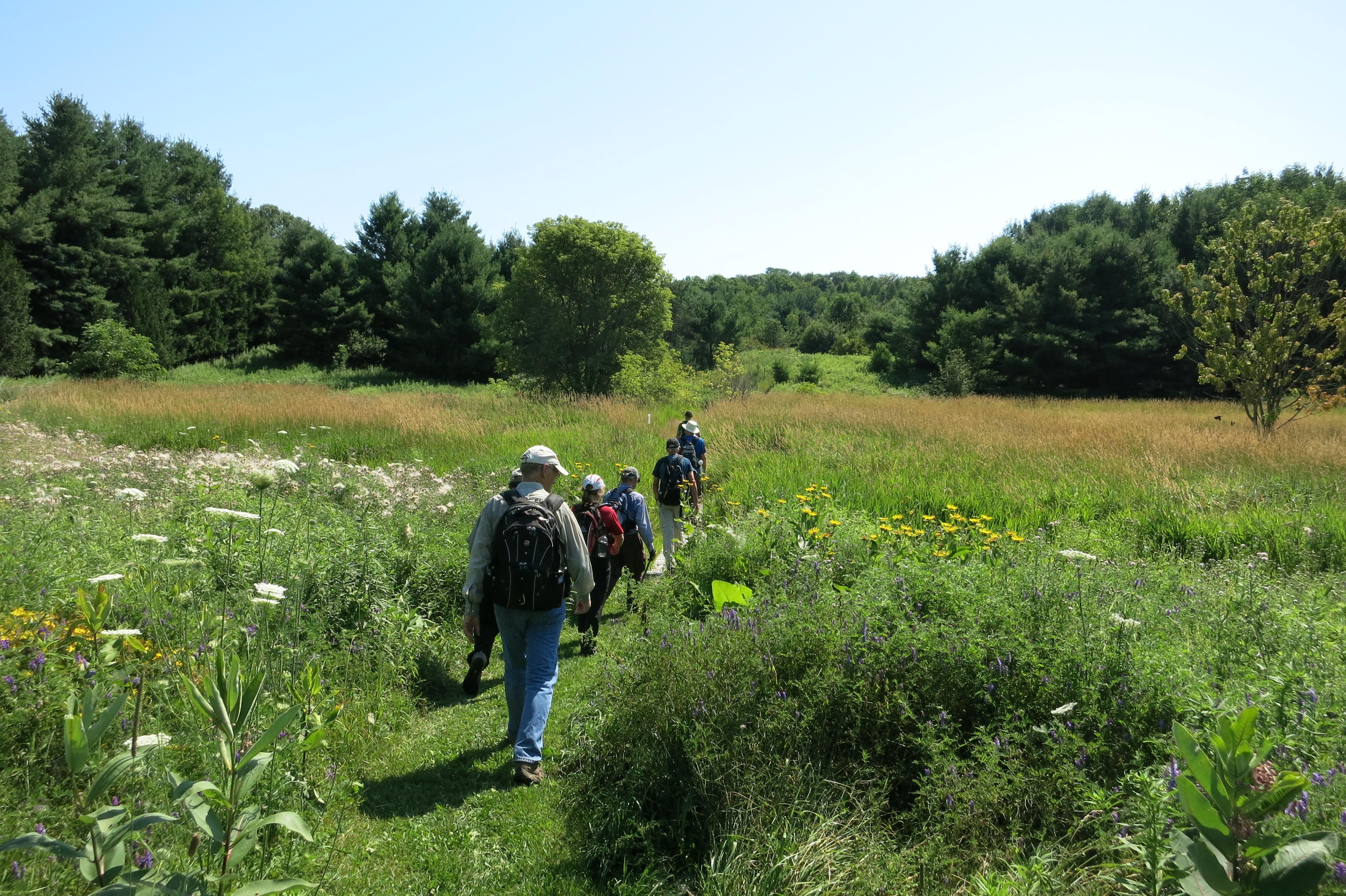
A blazing hot sunny and humid day (air temperature of 30+ and humidity heavy in the air) causing many hikers to strip to bare essentials quickly and prompt a discussion about placing ice packs (if one had them) in ones undergarments.
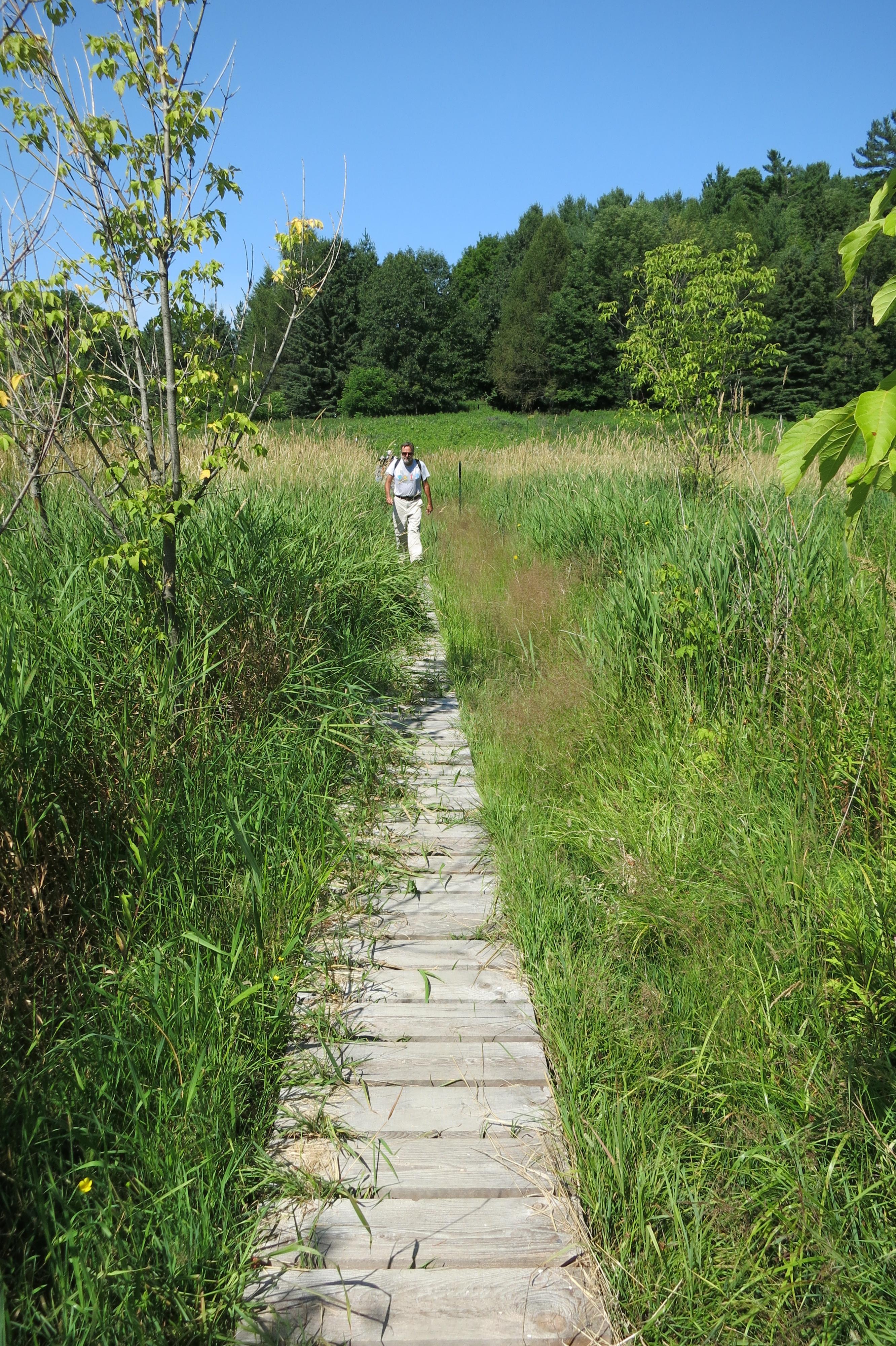
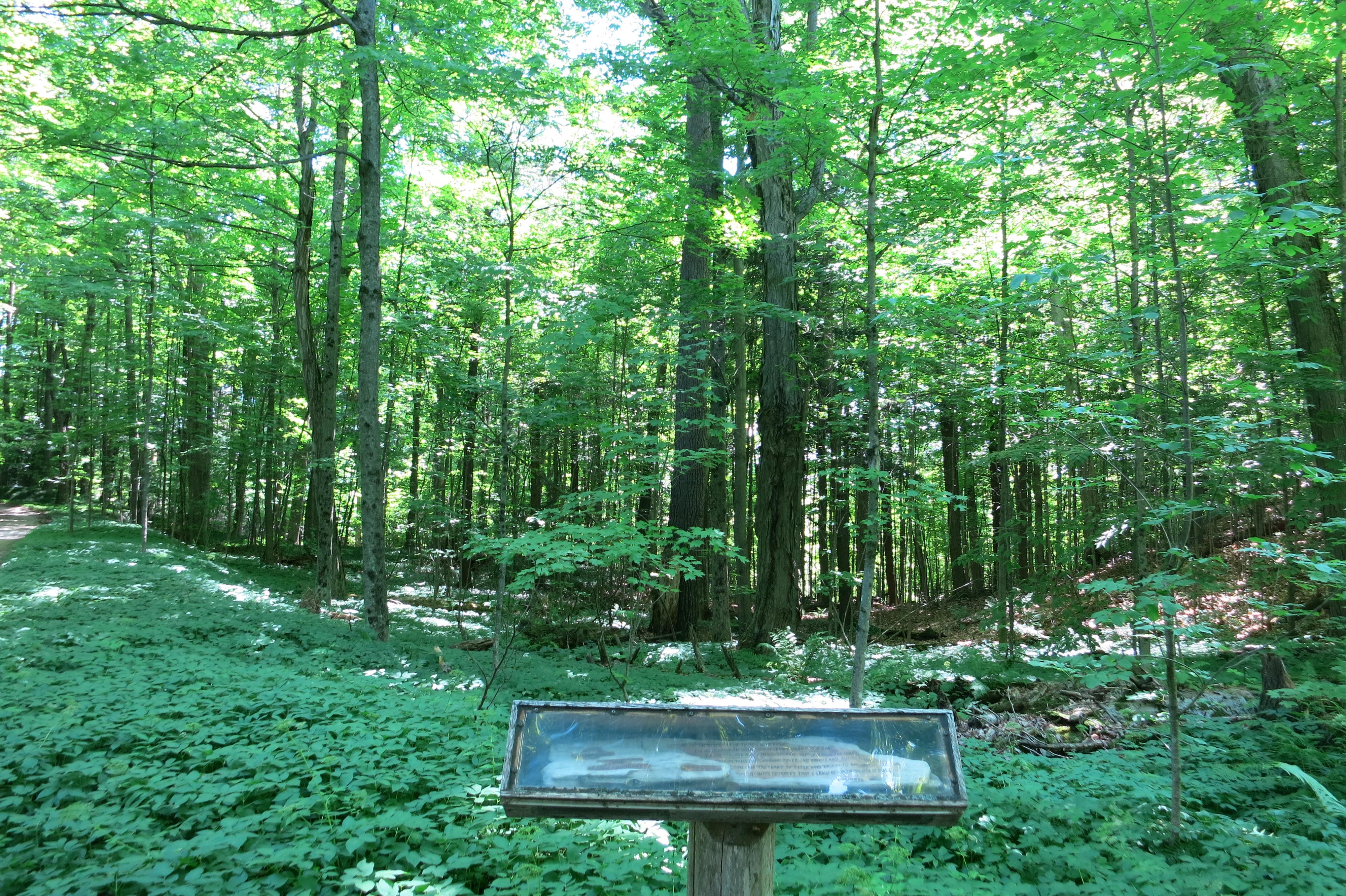
After exiting 8th. Conc. the trail follows a field fence line. The farmer had cleared the field so close to the fence we were left with trekking on the edge of the tilled field that appeared to be planted with clover. Trail blazing along the field line was almost non-existent but the dry field surface was great for hiking and we made good progress for 1Km. until we reached the tree line. Here the trail was severely over grown and was only located when several hikers went in search of blazes. This section of trail is infrequently used as it’s obviously prone to significant flooding. The result is infrequent grooming. The long dry spell of weather before this hike resulted in a mainly dry passage through this low laying area.
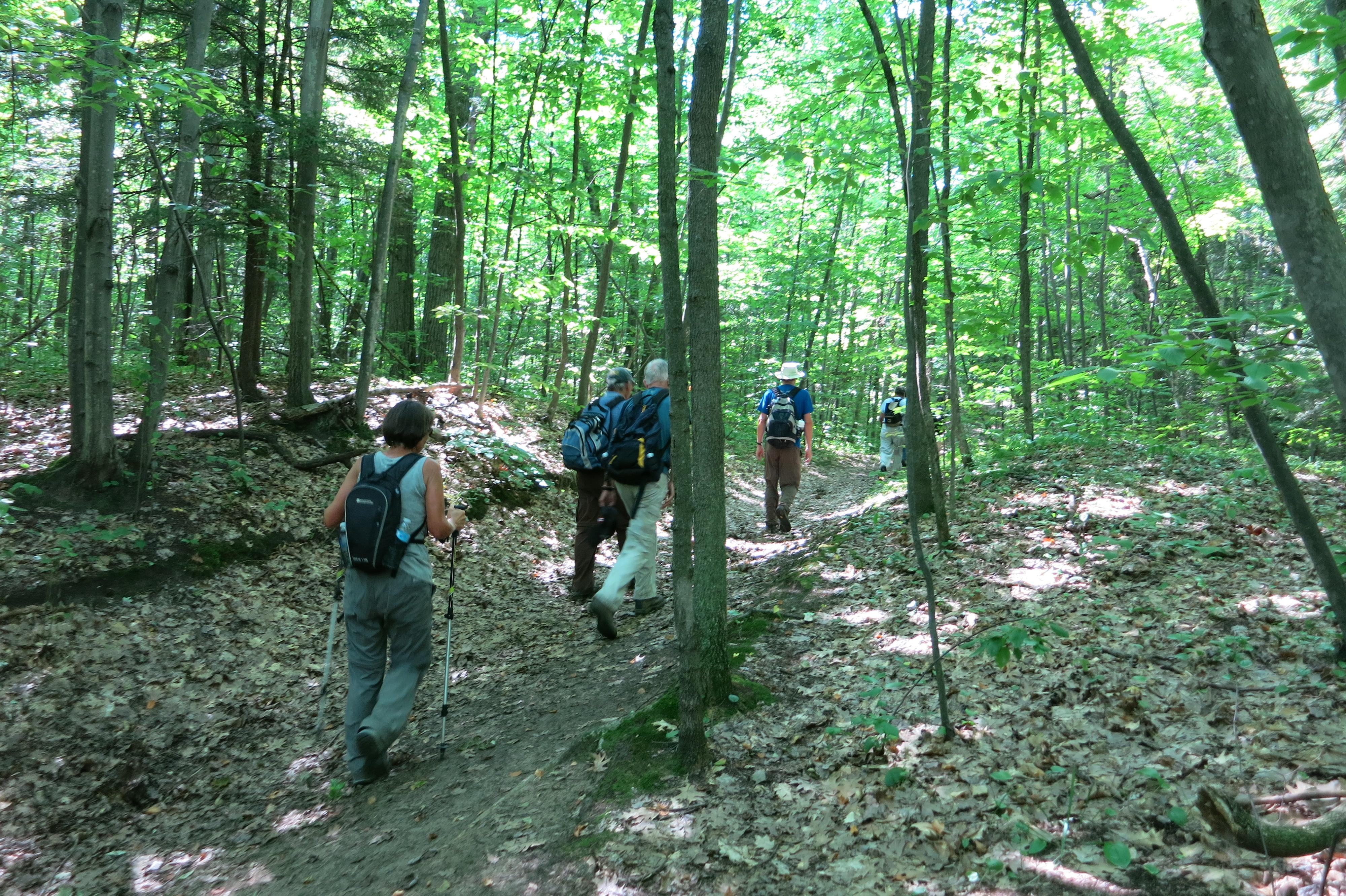
Once into the tree line the trail was clear and well blazed.
From the tree line the trail steadily rises to higher ground climbing several long steep hills.
On reaching 7th. Conc. it was apparent road side parking as shown on the ORTA map ‘R’ is not strictly correct. The road side parking is 1Km. north from where the trail intersects 7th. Conc. from the west.
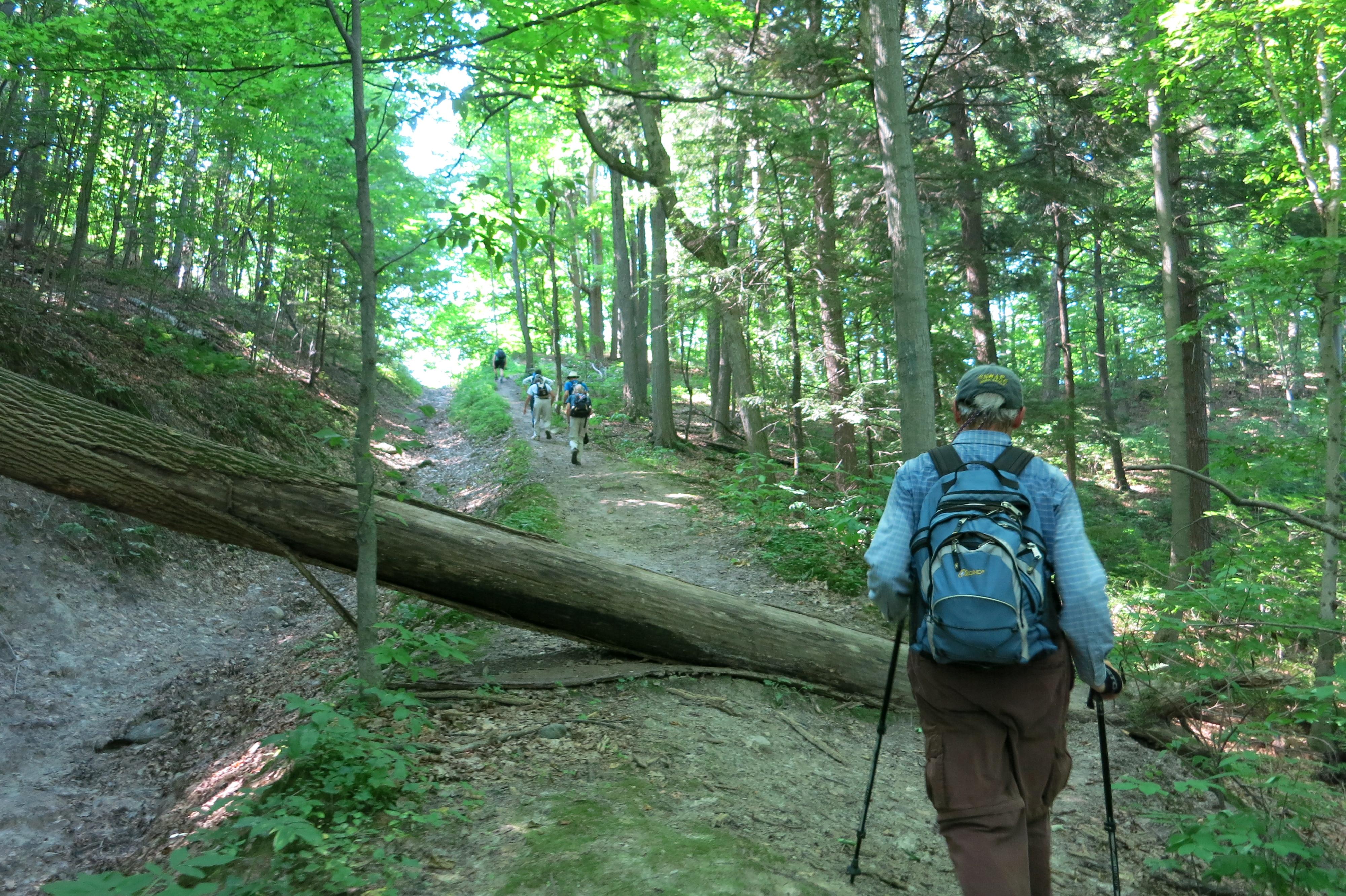
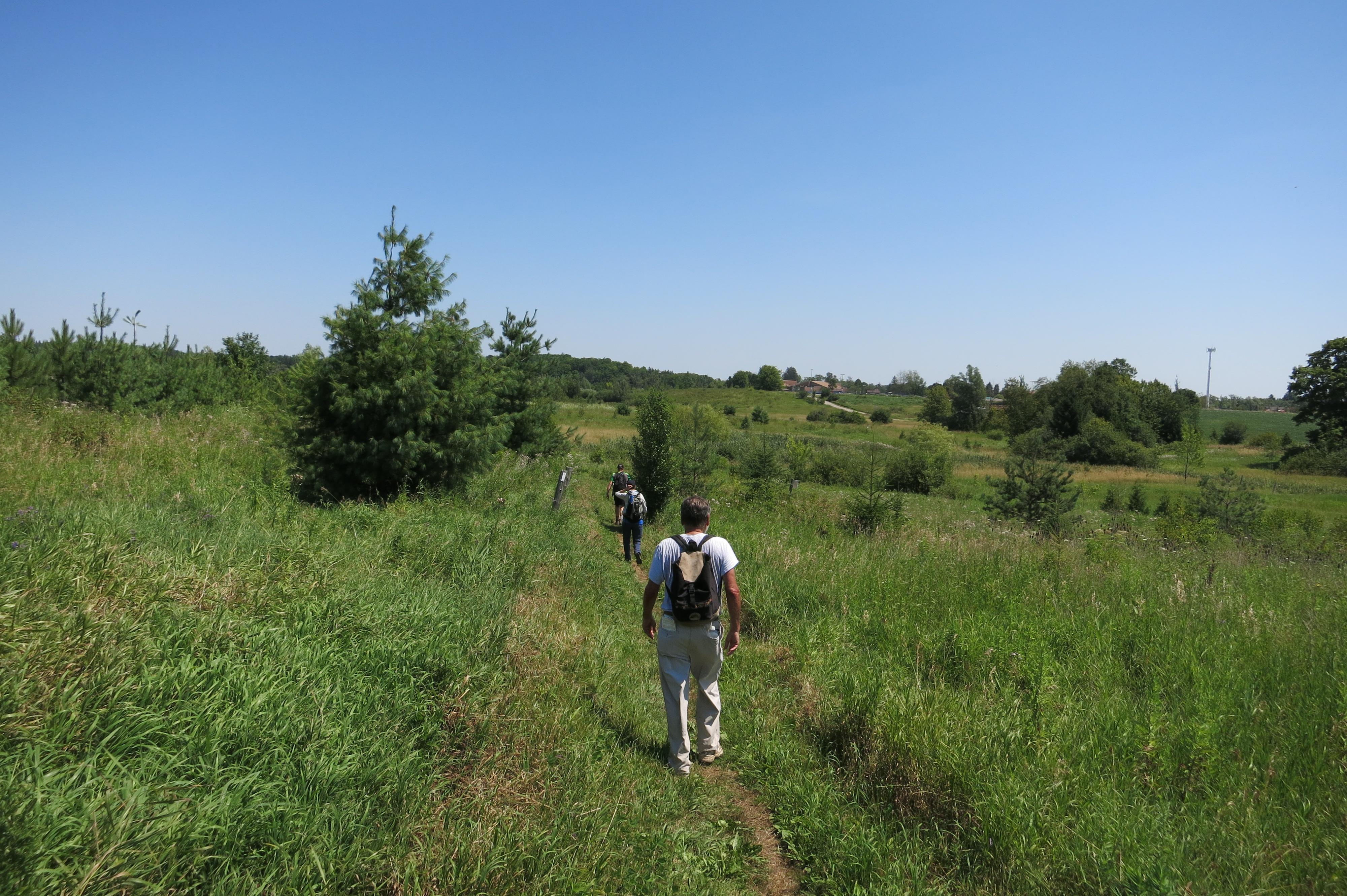
More long steep hills were climbed as we passed through Happy Valley (how did it get the name ‘Happy’ with such a large hills?). Here a man walking dogs warned there were many hungry deer and horse flies, but none bothered us.
Even the ubiquitous mosquitoes were not bad, although at one place Malcolm removing the leggings from his cargo pants and received two mosquito bites before he had time to apply bug repellent.
We climbed another long steep hill on the road allowance out of Happy Valley and thankfully took a short break at the top of this hill to recover where Malcolm claimed that was the last steep incline this trek would cover.
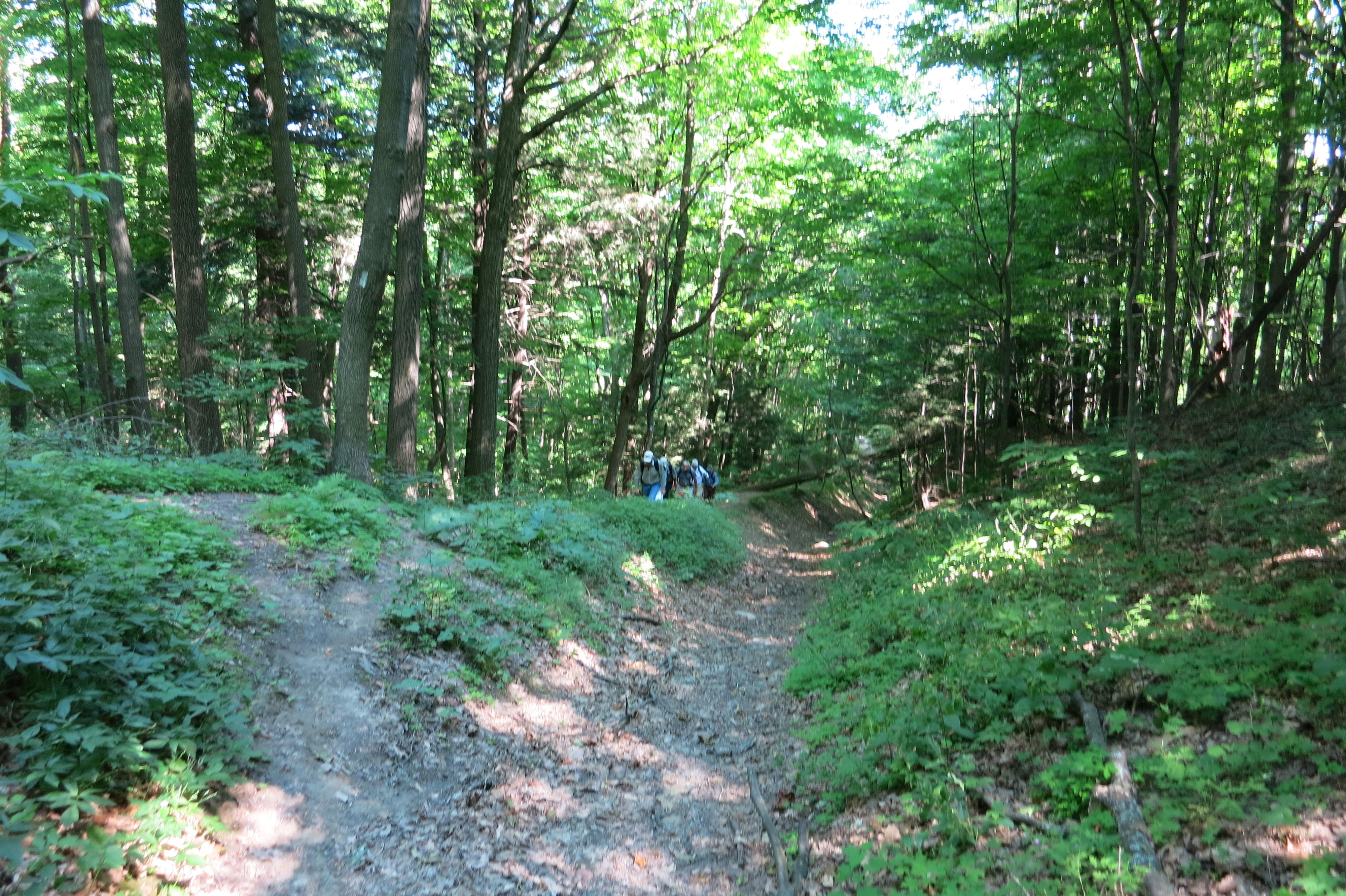
On entering the Love Mountain Conservation Area we immediately came to a tee junction on the cleared trail with no blazing to indicate a right or left hand turn. We took the right turn as we knew we would have to go south from this point and crossed the property with no further concern. Likely we could have taken the left hand turn at the tee junction and crossed the Love Mountain property by another trail.
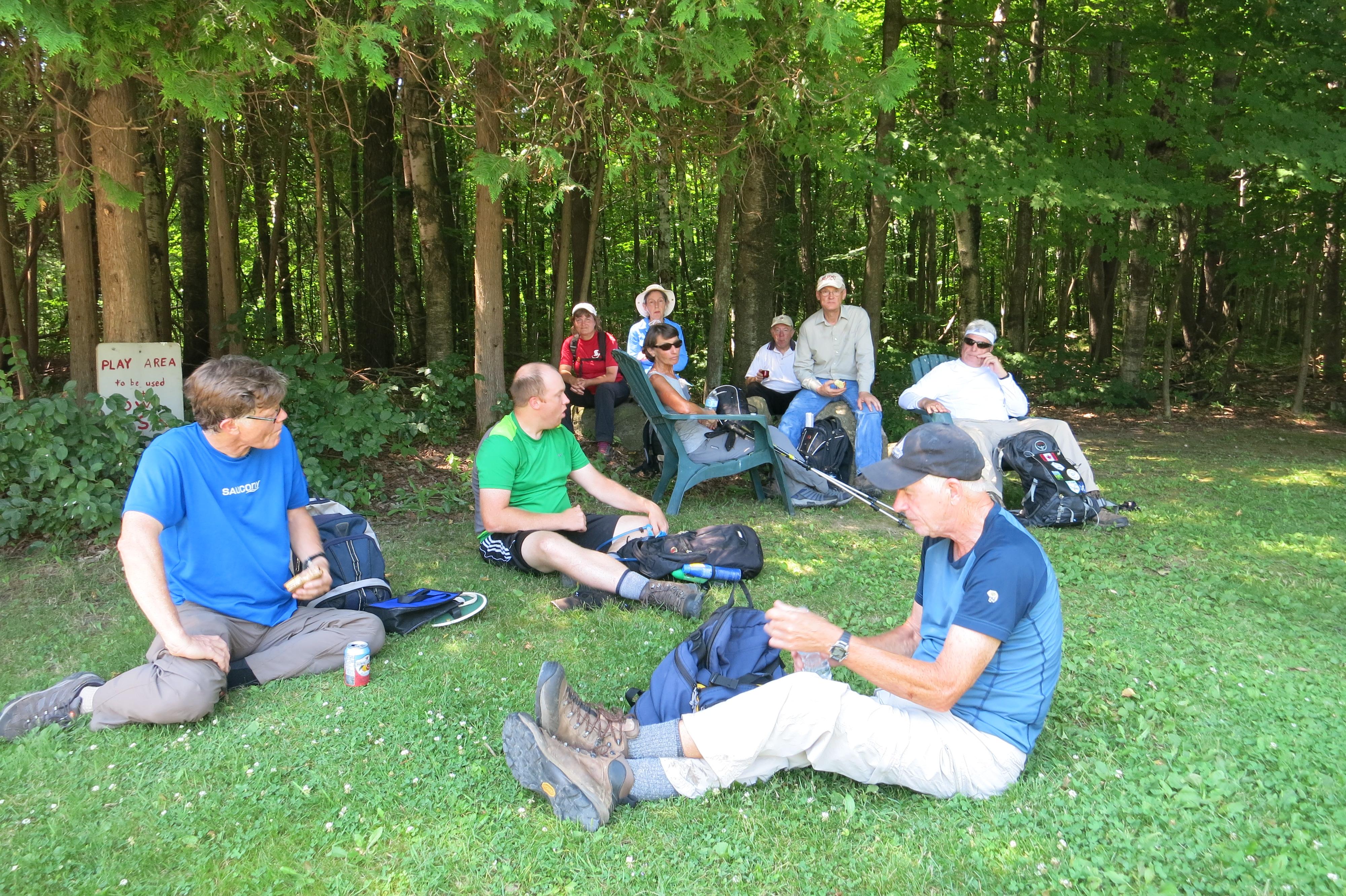
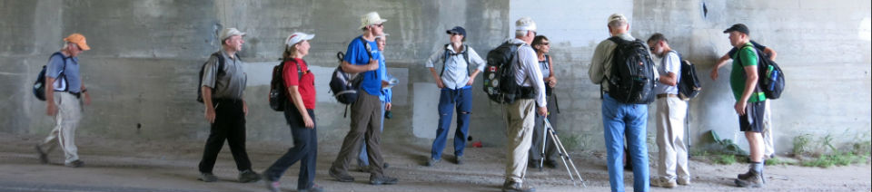
We exited the forest area at Weston Rd. and continued east on 16th SR with an initial plan to lunch in the shade of the Hwy# 400 underpass. The underpass was found to be totally inadequate and we continued east, taking the side loop trail to Pine Farm Orchard. This was an excellent choice with all taking longer than usual for the lunch break and rest.
After lunch rest stops were called more often as we passed Mary Lake and finally entered the Seneca College King Campus property.
North of the Eaton Hall Lake we had yet another long steep hill to climb (did Malcolm really say there were no more long steep hills after we passed through Happy Valley?).
On this hike we constantly seemed to be climbing as we moved east or perhaps it was just a figment of the imagination resulting from the heat and humidity and exhaustion.
We arrived at the cars before 2:00PM having covered 17Km. Here Vicky served melon slushies to end a wonderful hike.
Malcolm Hann