E to E #13 Finale - Hwy 45 to Castleton 2015-9-8
Tuesday, Sept. 8th. trek from Hwy# 45 to Castleton.
The hike was led by Bob Comfort.
The day started humid with high cloud cover but slightly cooler than Monday. To the south west were dark clouds which supported the weather forecast which gave a 50% probability for rain.
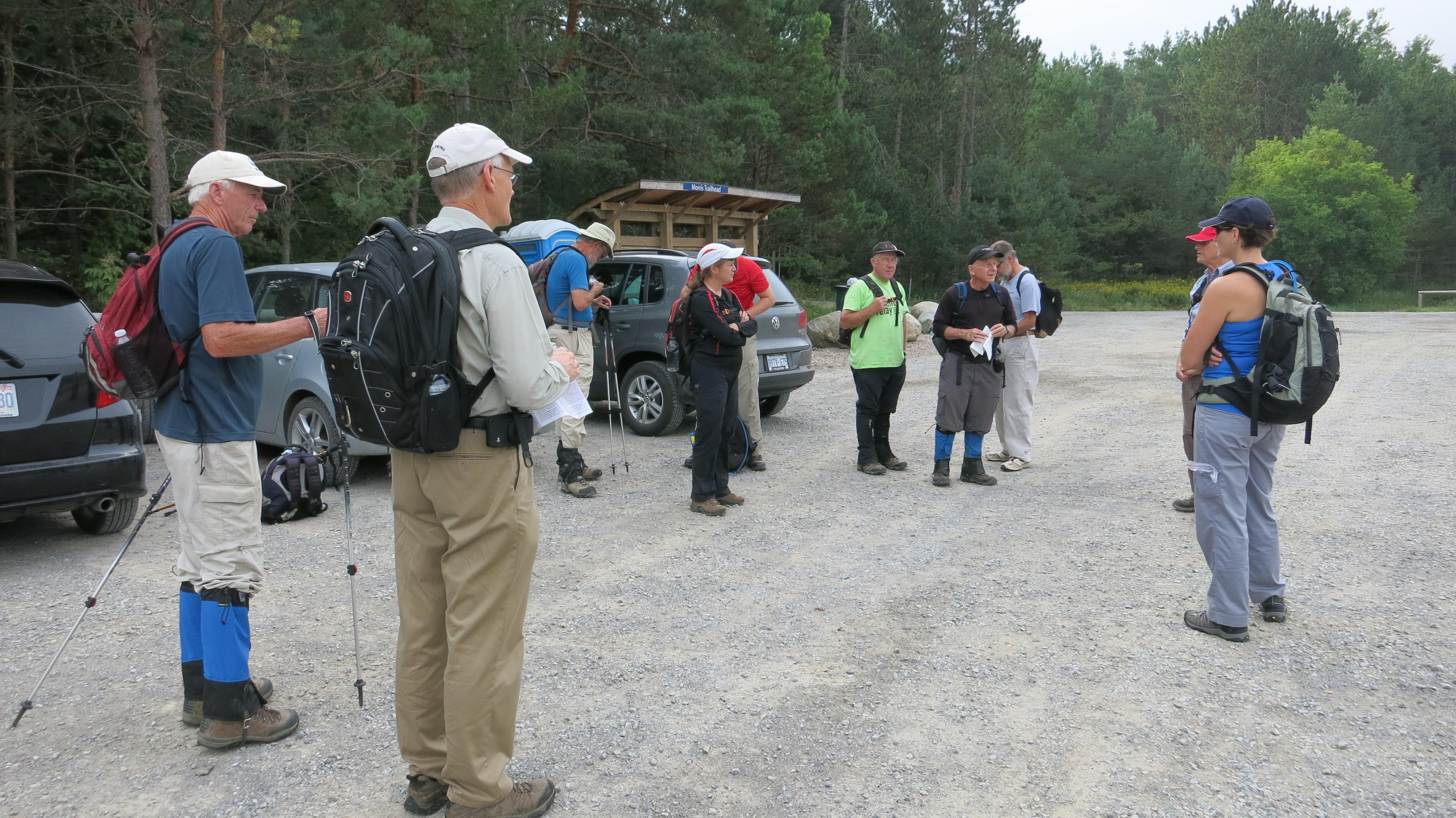
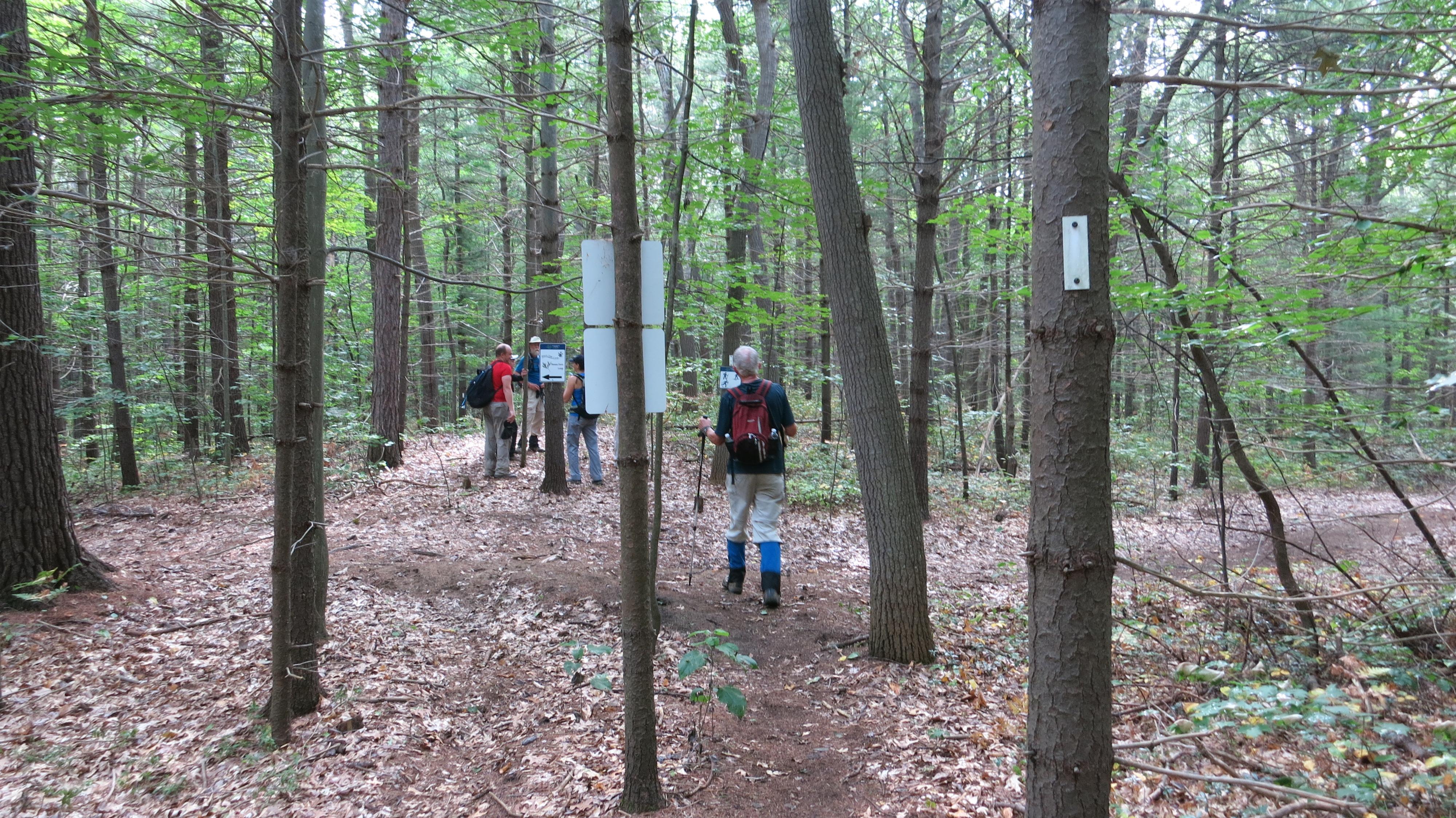
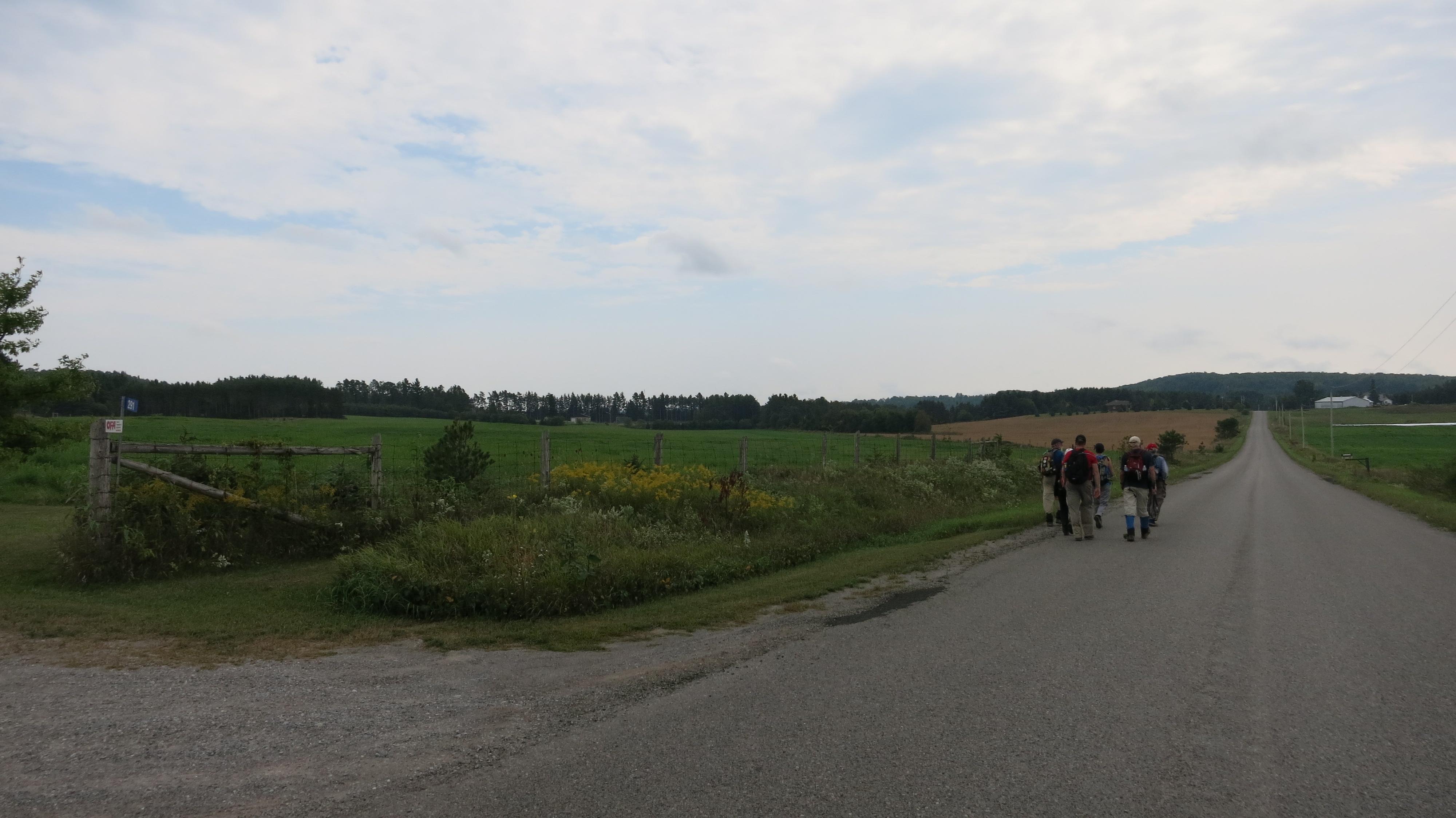
At 9:15am we started to hike this last section of the E2E from the parking lot on Hwy #45.
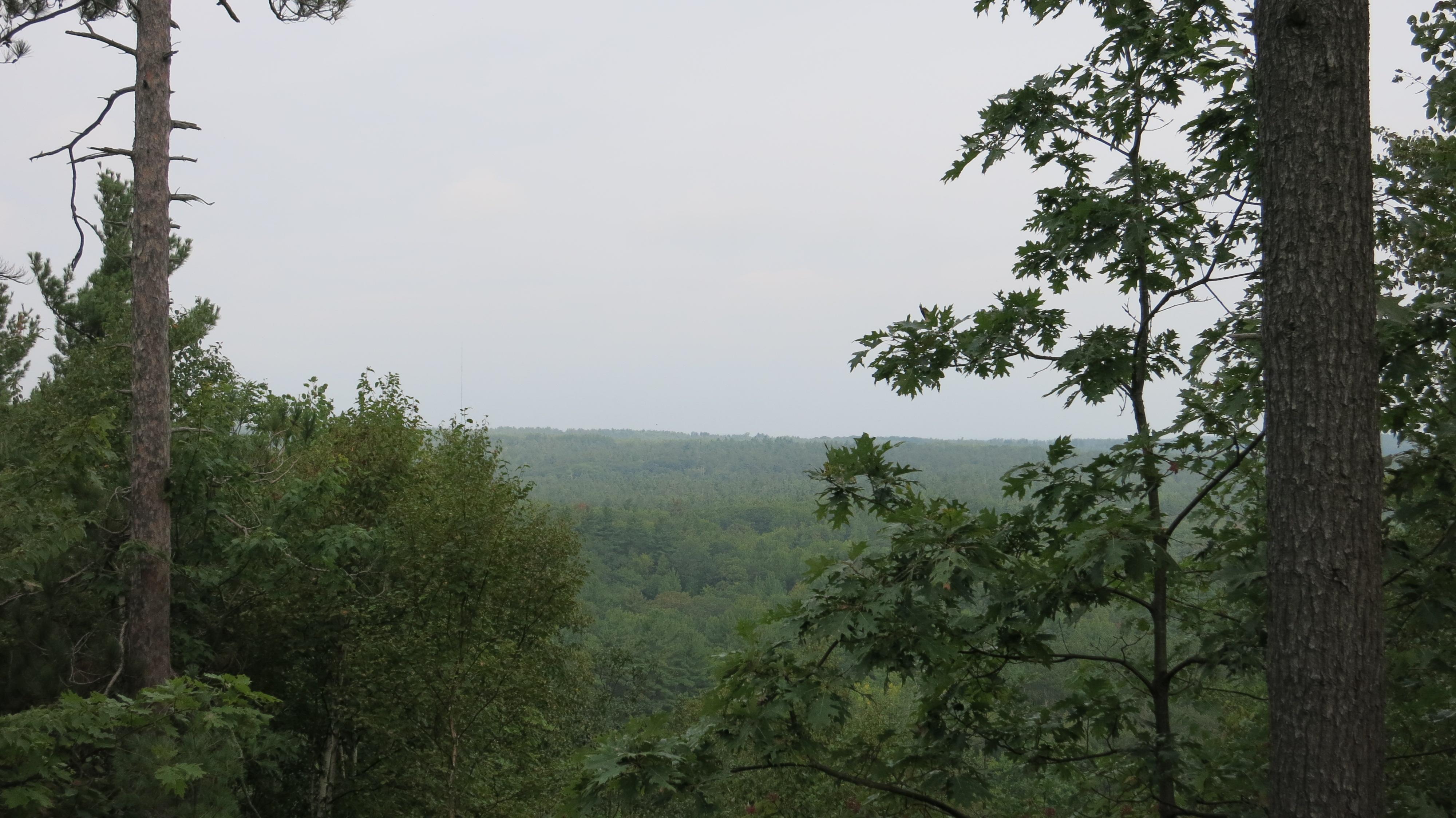
The trail immediately starts to climb a long steep incline to the crest of the hill used for skiing at one time. Thankfully Bob allowed a short stop at the crest of this hill to absorb the scene. The sea of green below included a single sugar maple tree decked out in its fiery red fall colour.
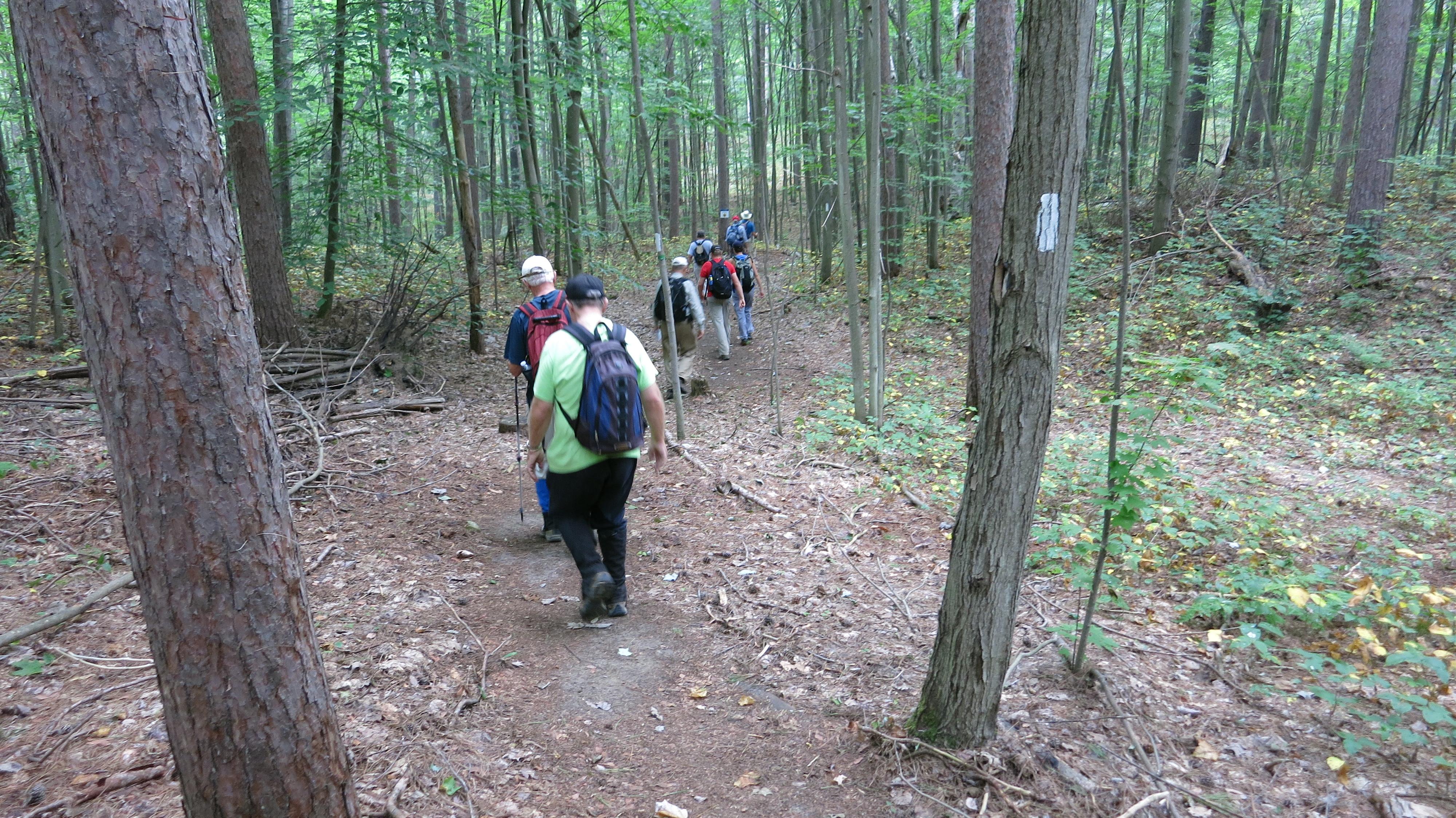
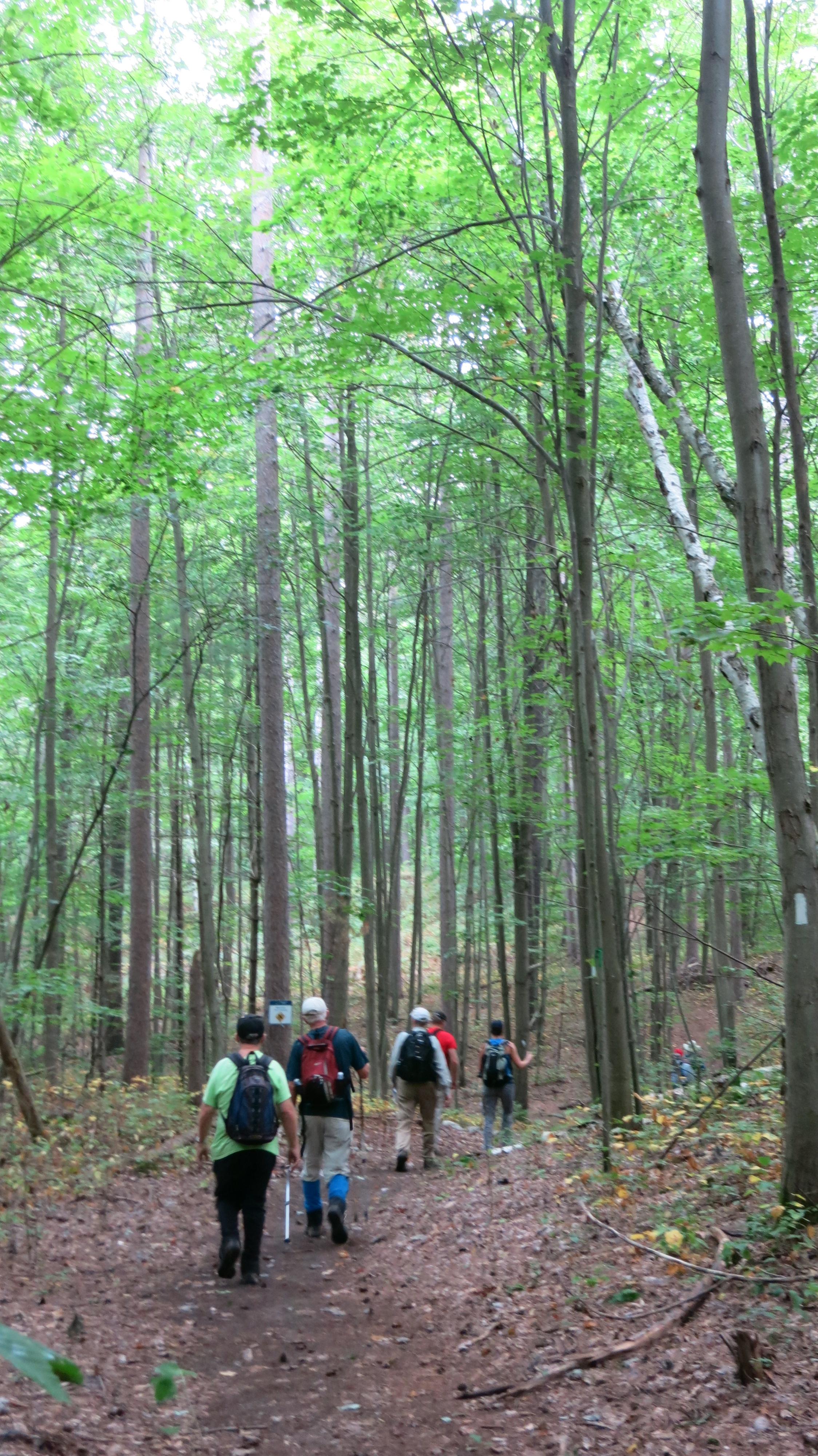
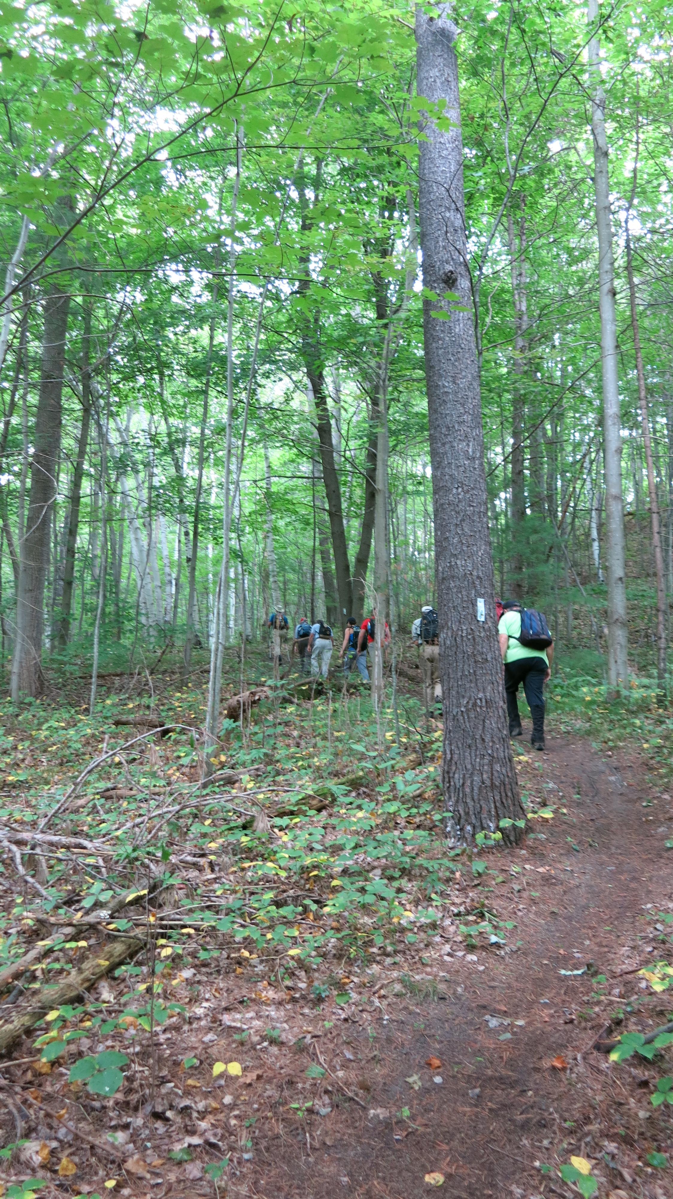
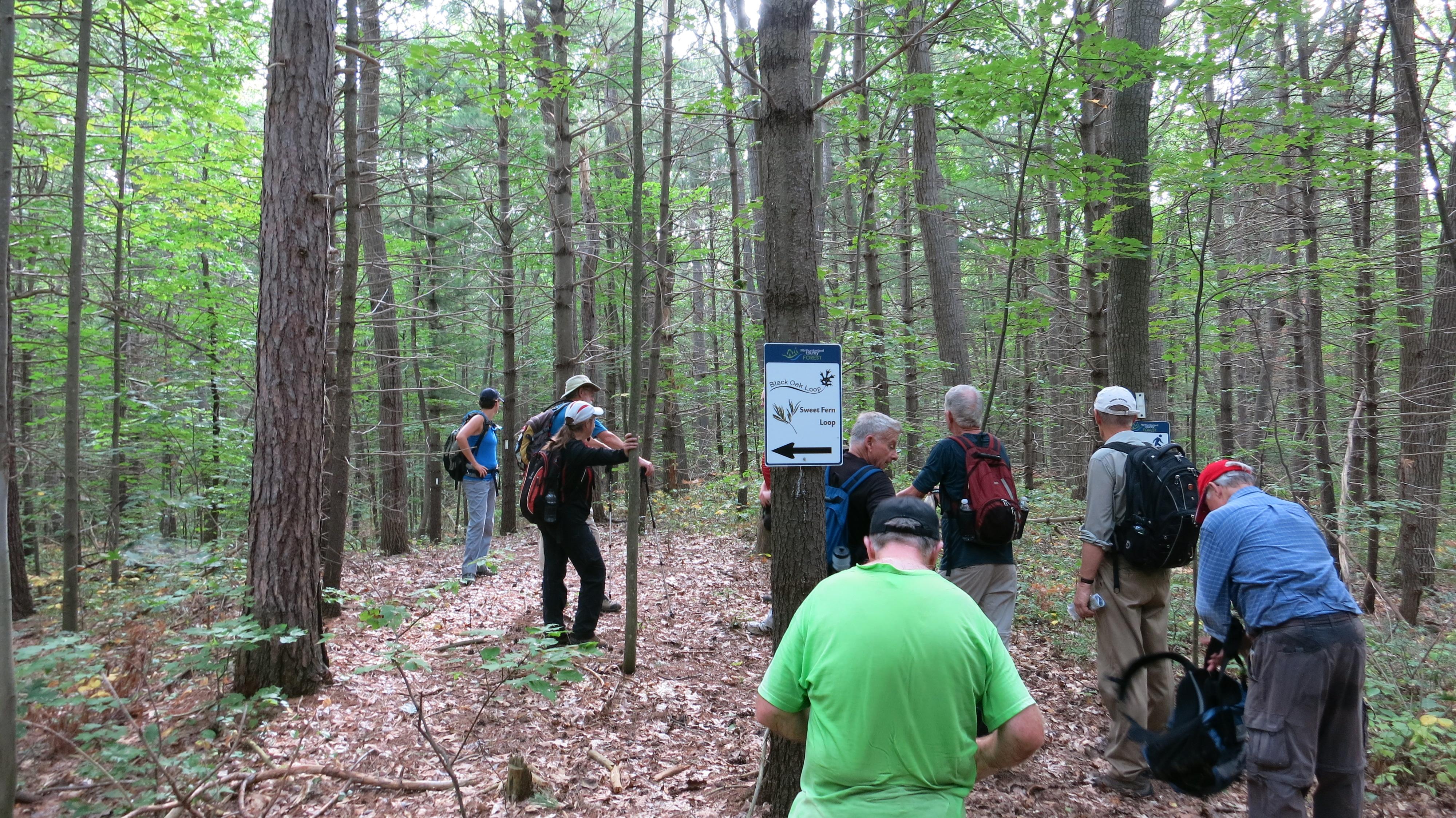
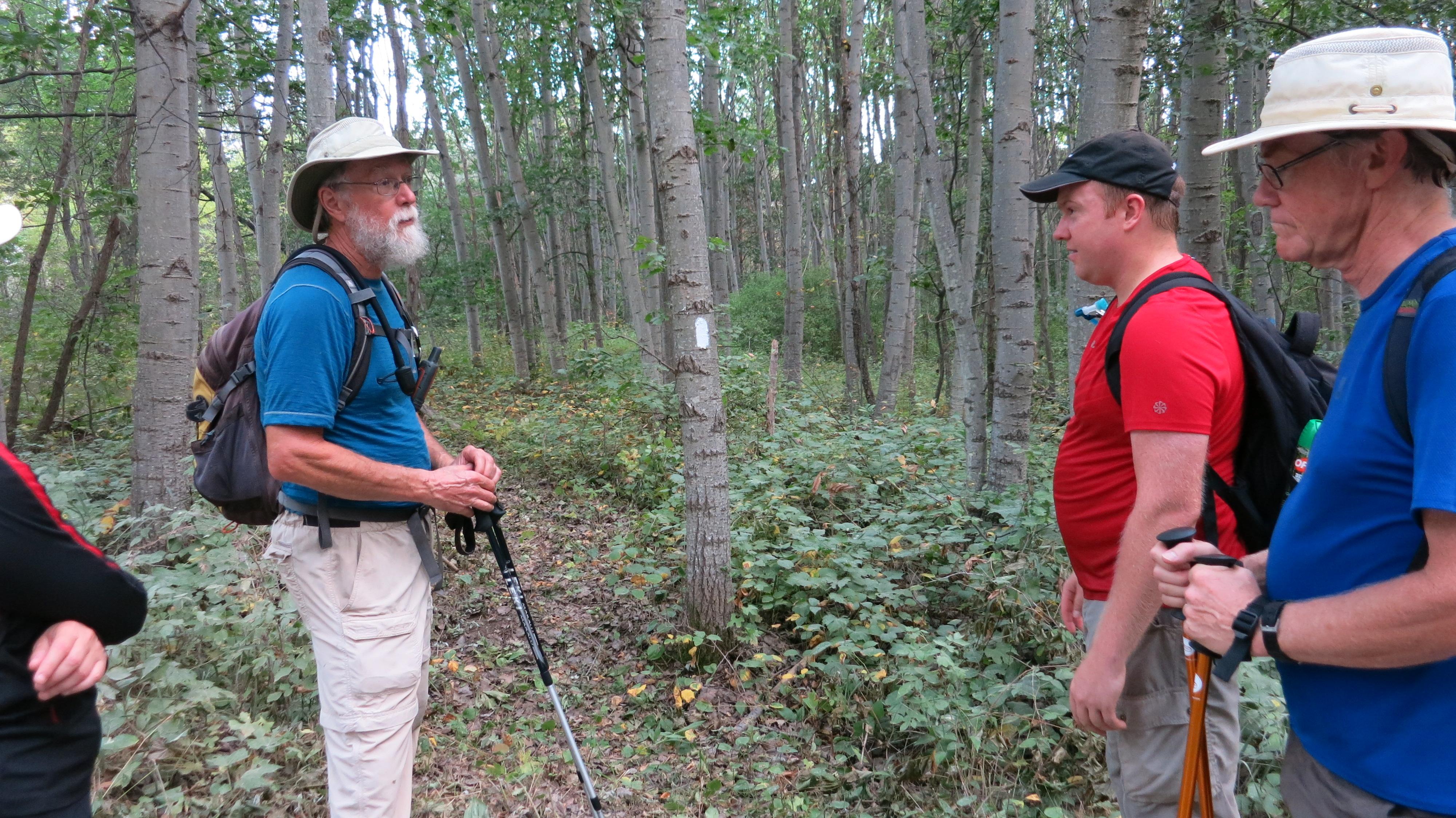
Once breathing returned to normal we followed the twisting trail east through the forest and over many rolling hills.
Poison ivy was anticipated for this section of trail and every one dressed accordingly in long pants, many also wore gaiters and long sleeve shirts. Luckily most of the poison ivy had been cutback and didn’t pose a threat to us.
After hiking 11km. from the parking lot Bob called a welcome lunch stop in a clearing along a sandy stretch of Dunbar Rd.
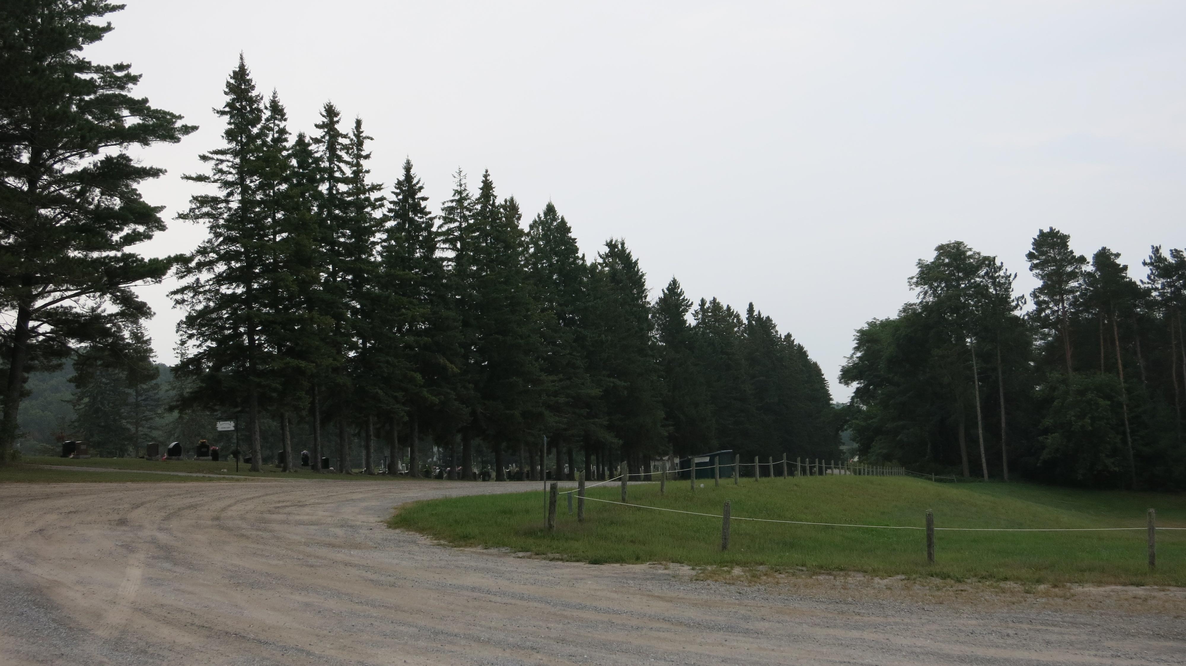
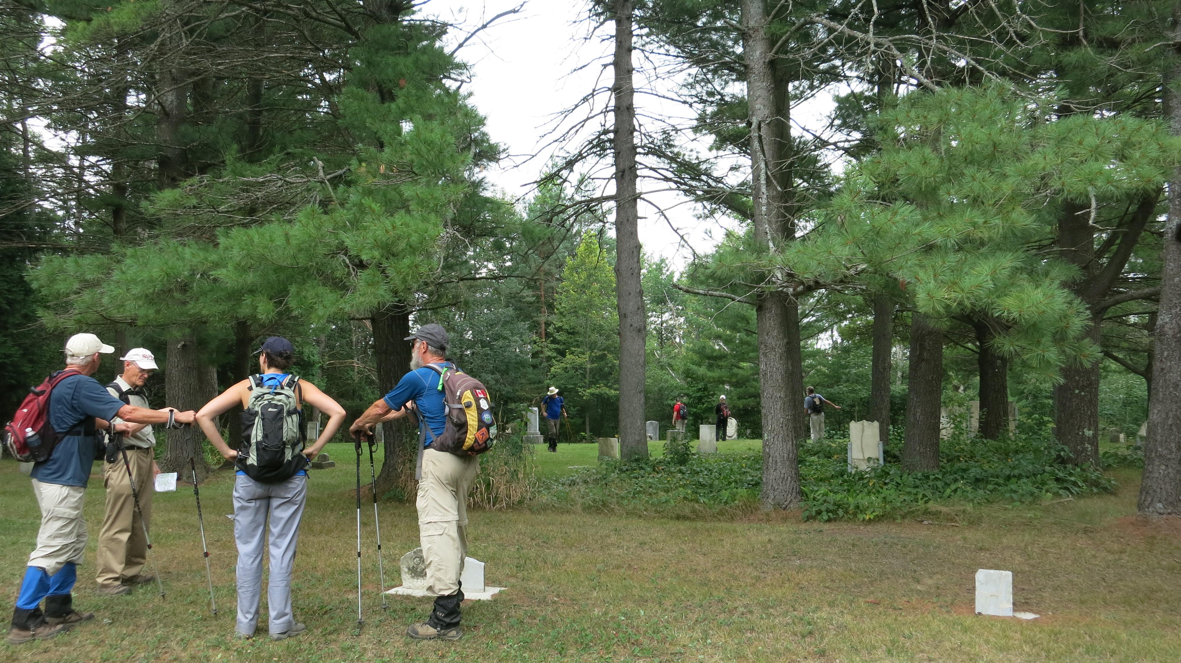
After lunch we hiked a further 3Km. on Dunbar Rd. to the picturesque Russ Creek Pioneer Cemetery. The Cemetery is located some 200m. off the roadway in a forest clearing. Some time was spent here reading head stones and absorbing the tranquility of the scene.
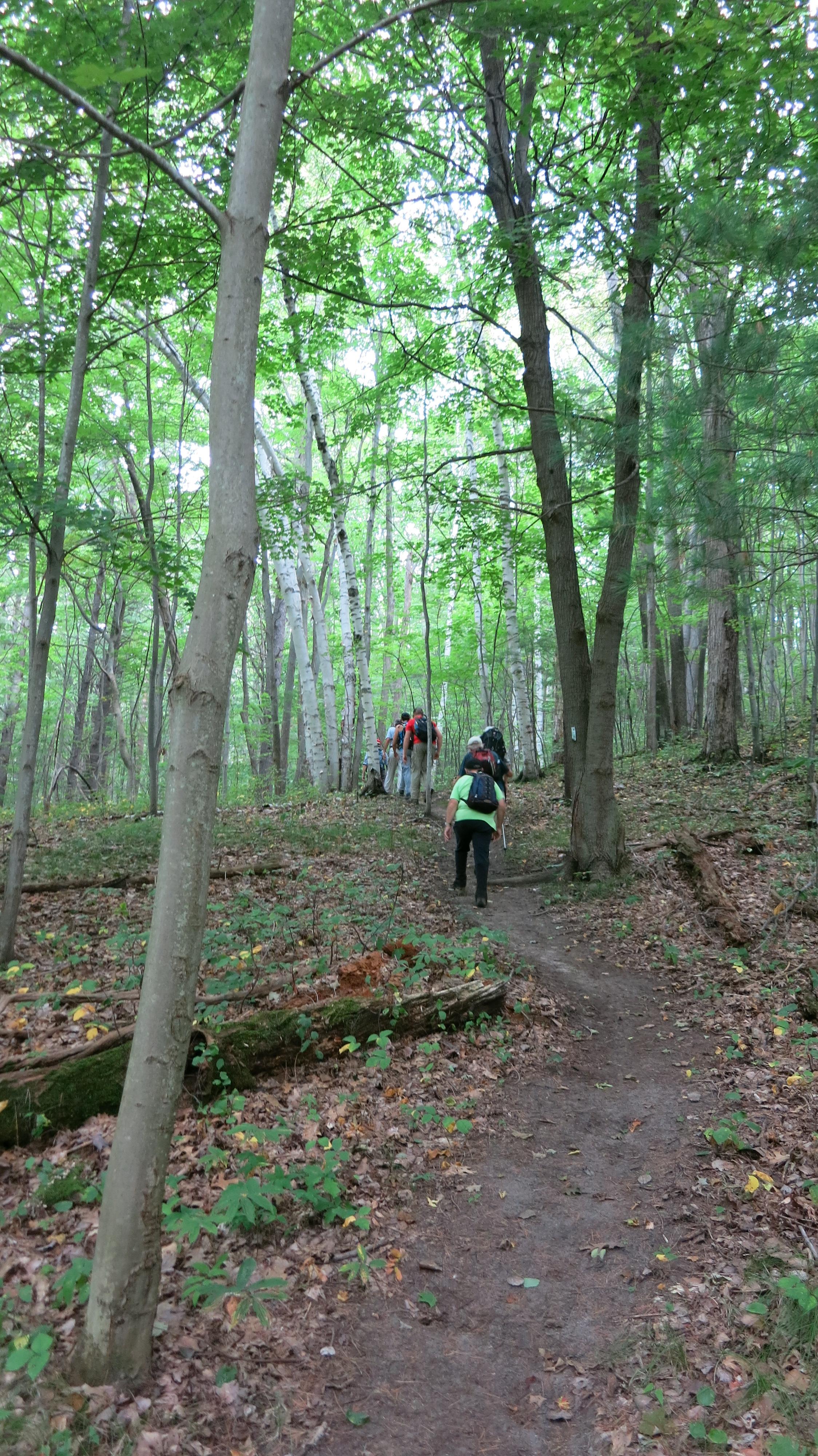
On leaving the Cemetery we turned south, taking an alternate route over forest trails toward Castleton. Initially this route looked to be a questionable choice as the trail climbs a long rutted incline, but the trail leveled off in 500m. The forest pressed in from either side and was a welcome change compared to the wide open and hard surface of Dunbar Rd.
After a while the trail turns east and shortly we were greeted with a beautiful scene of the forest trail ahead passing through a back lite canopy of trees that appeared as light at the end of a tunnel.
This alternate trail meets Dawson Rd. near the intersection with Mount Pleasant Rd.
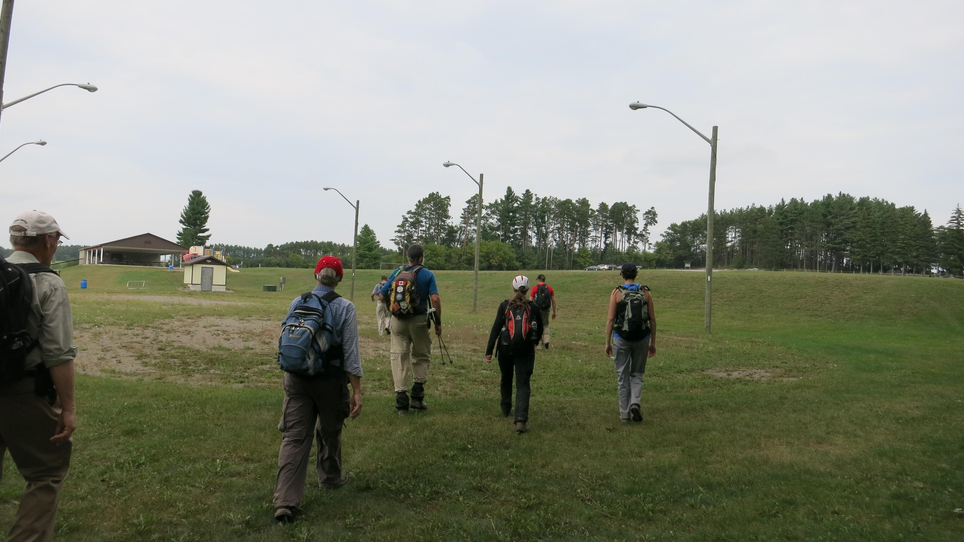
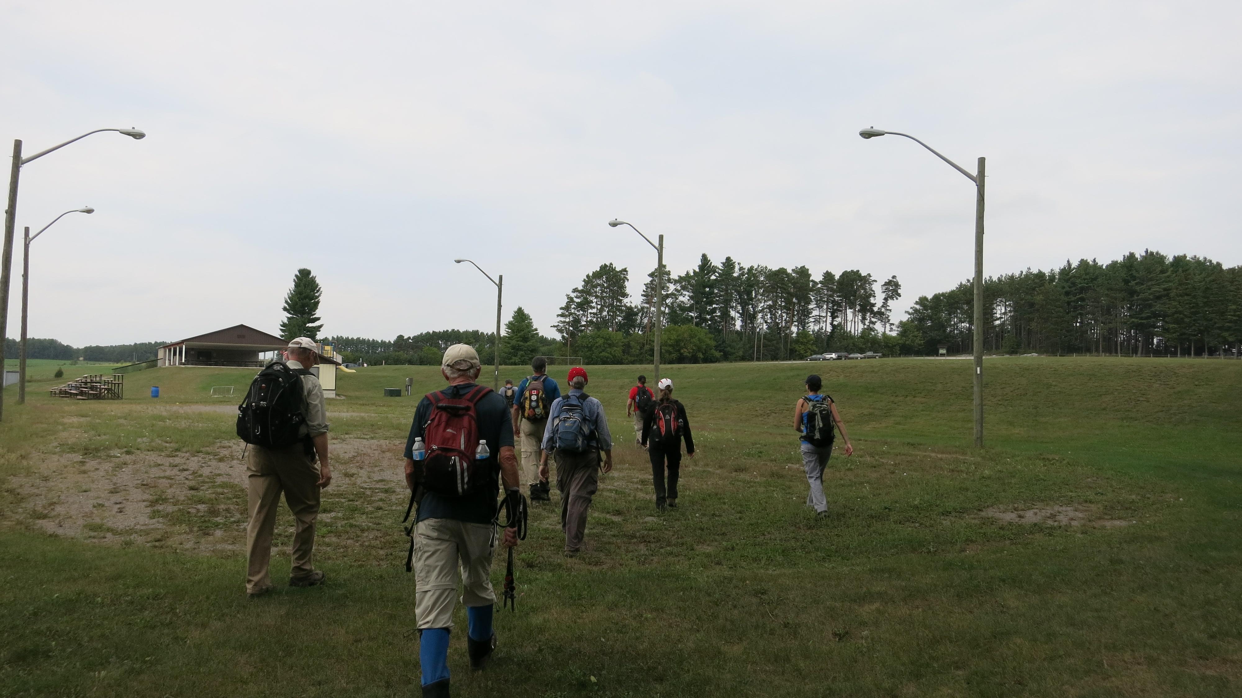
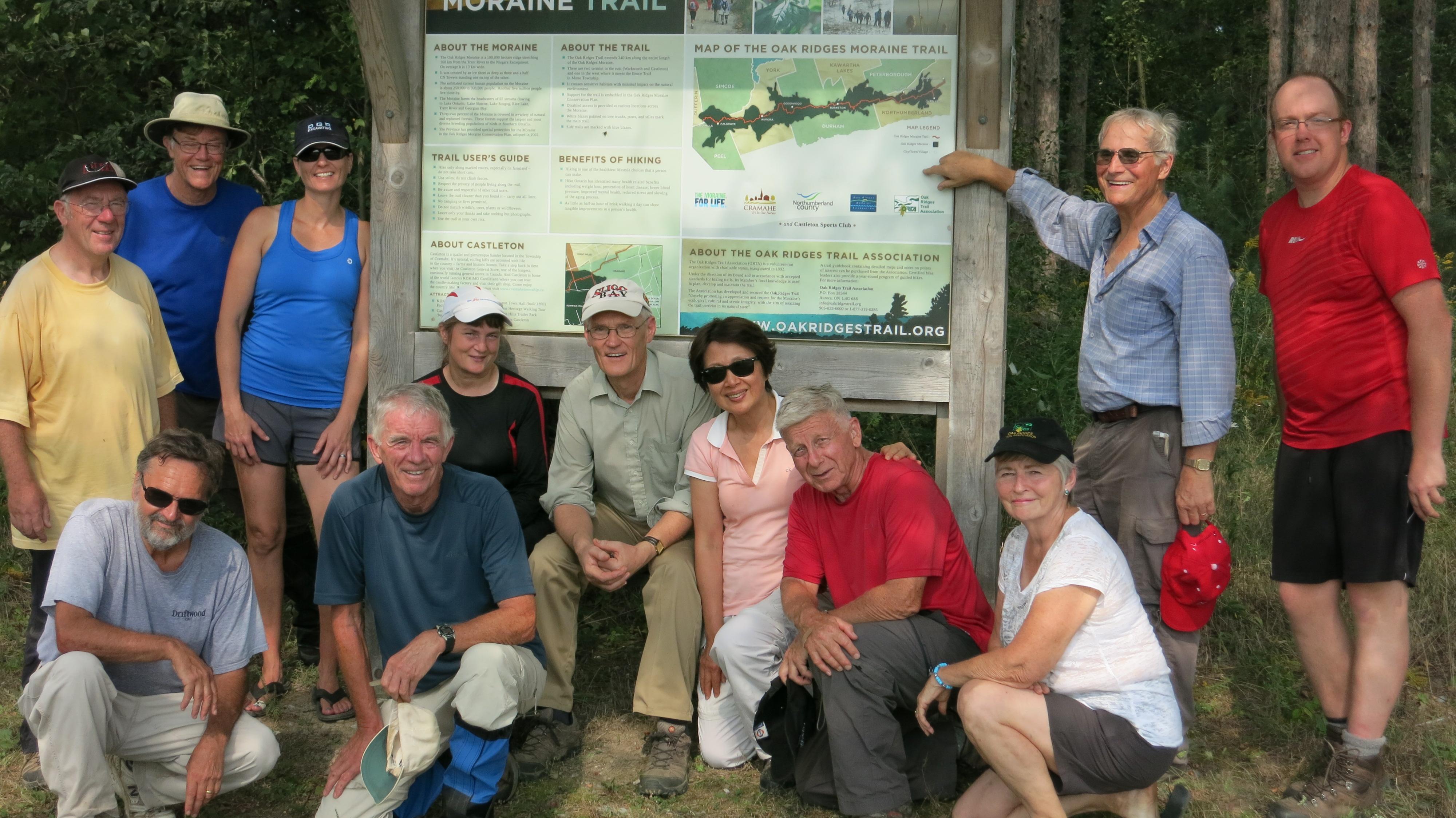
As the crow flies the ORTA trail kiosk in Castleton is no more than 500m. from the intersection of Dawson and Mount Pleasant Roads, but the trail takes a horseshoe route through Castleton that takes a full 30 minutes to walk (perhaps at some future date ORTA will come to an agreement with a local farmer allowing the ORTA trail to parallel a fence line to the kiosk directly from Mount Pleasant Rd.)!
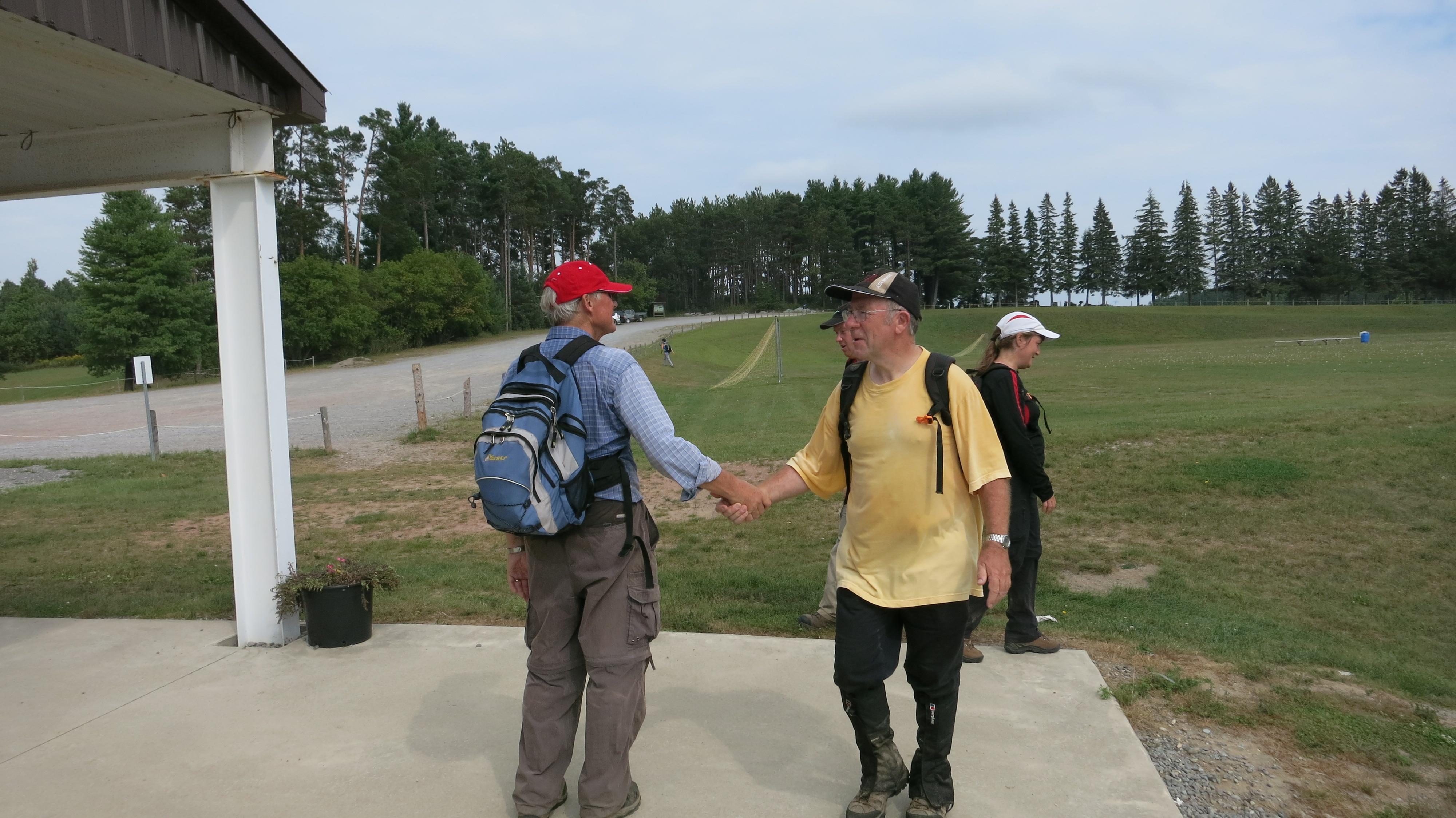
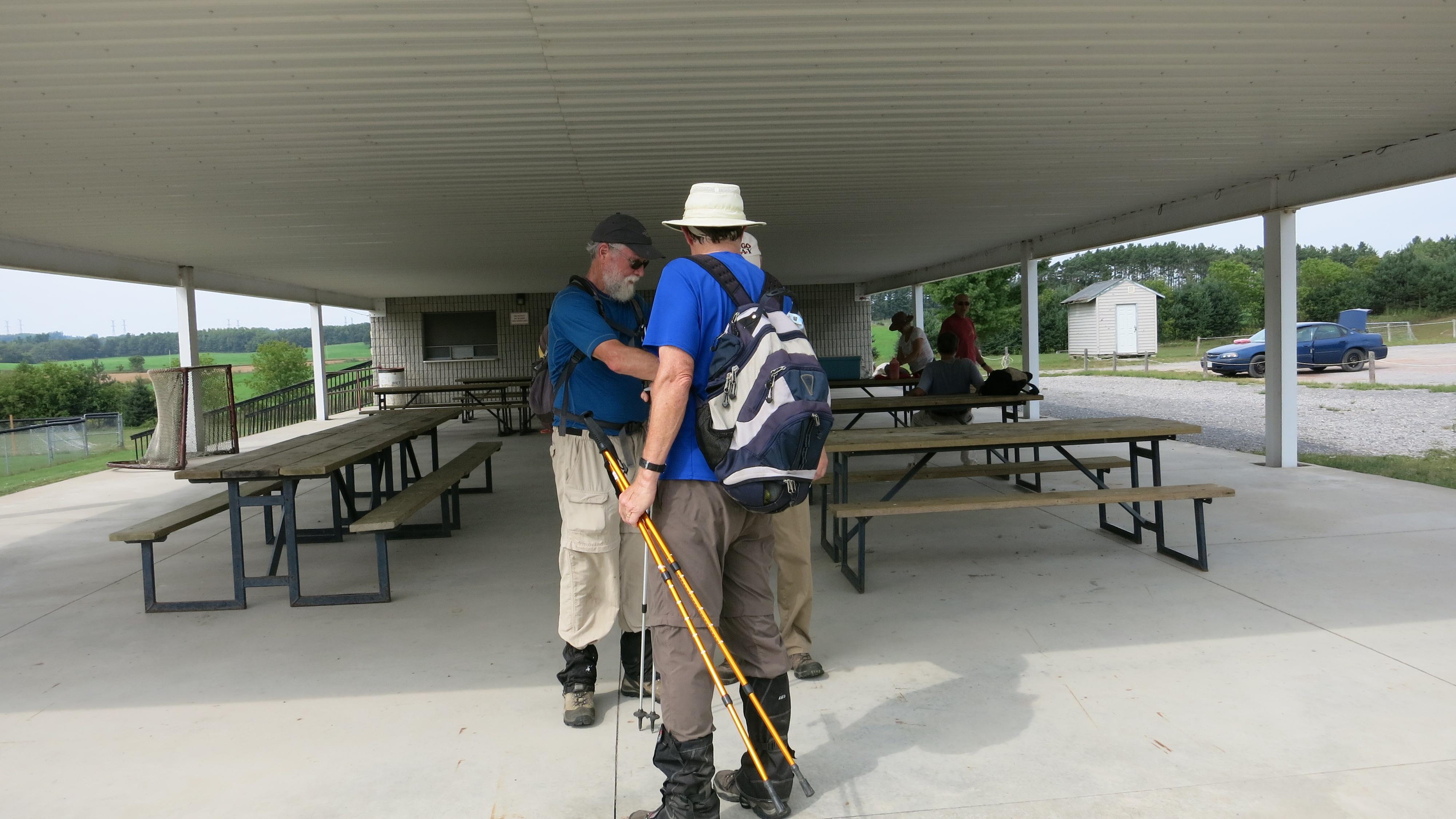
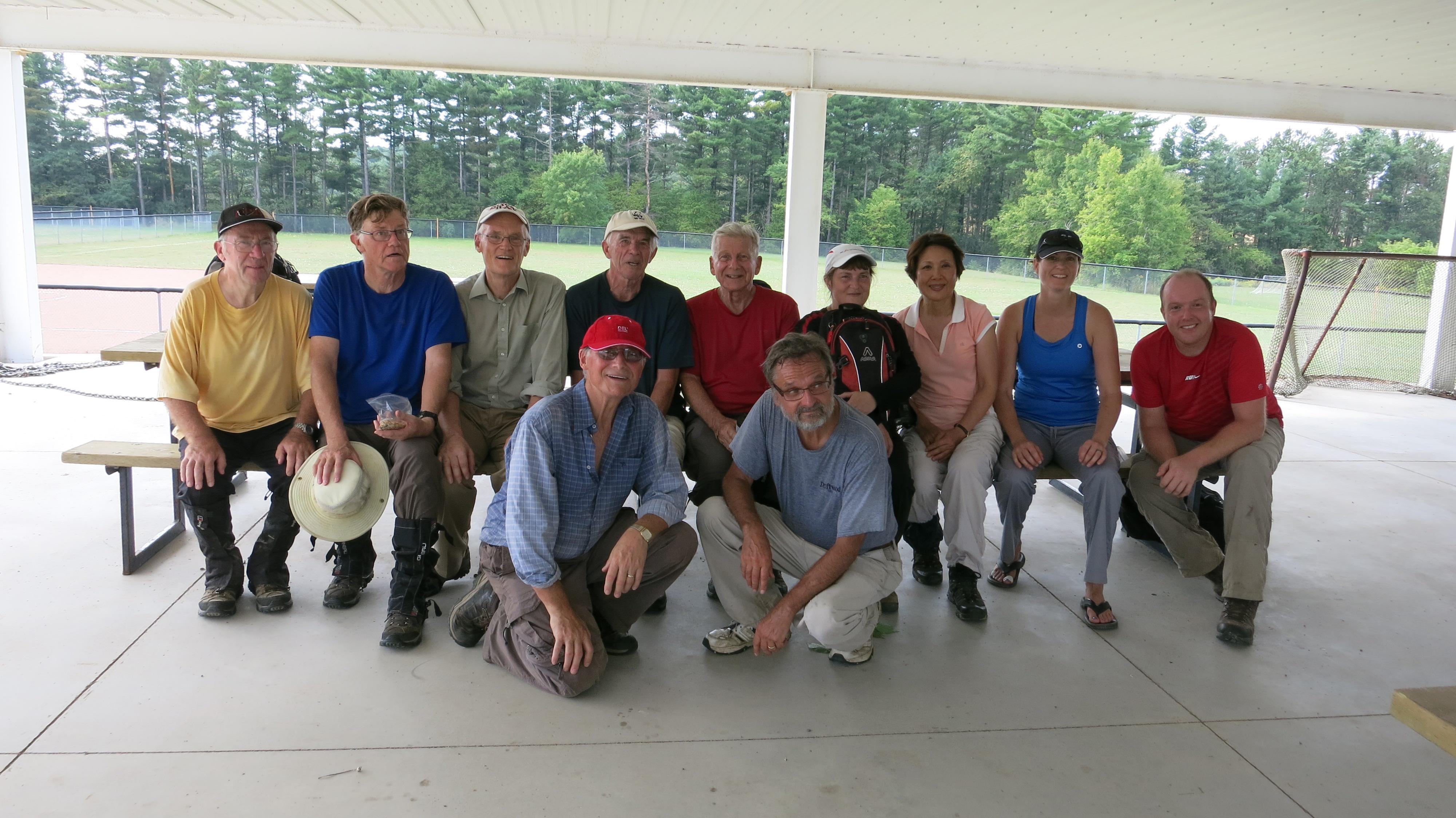
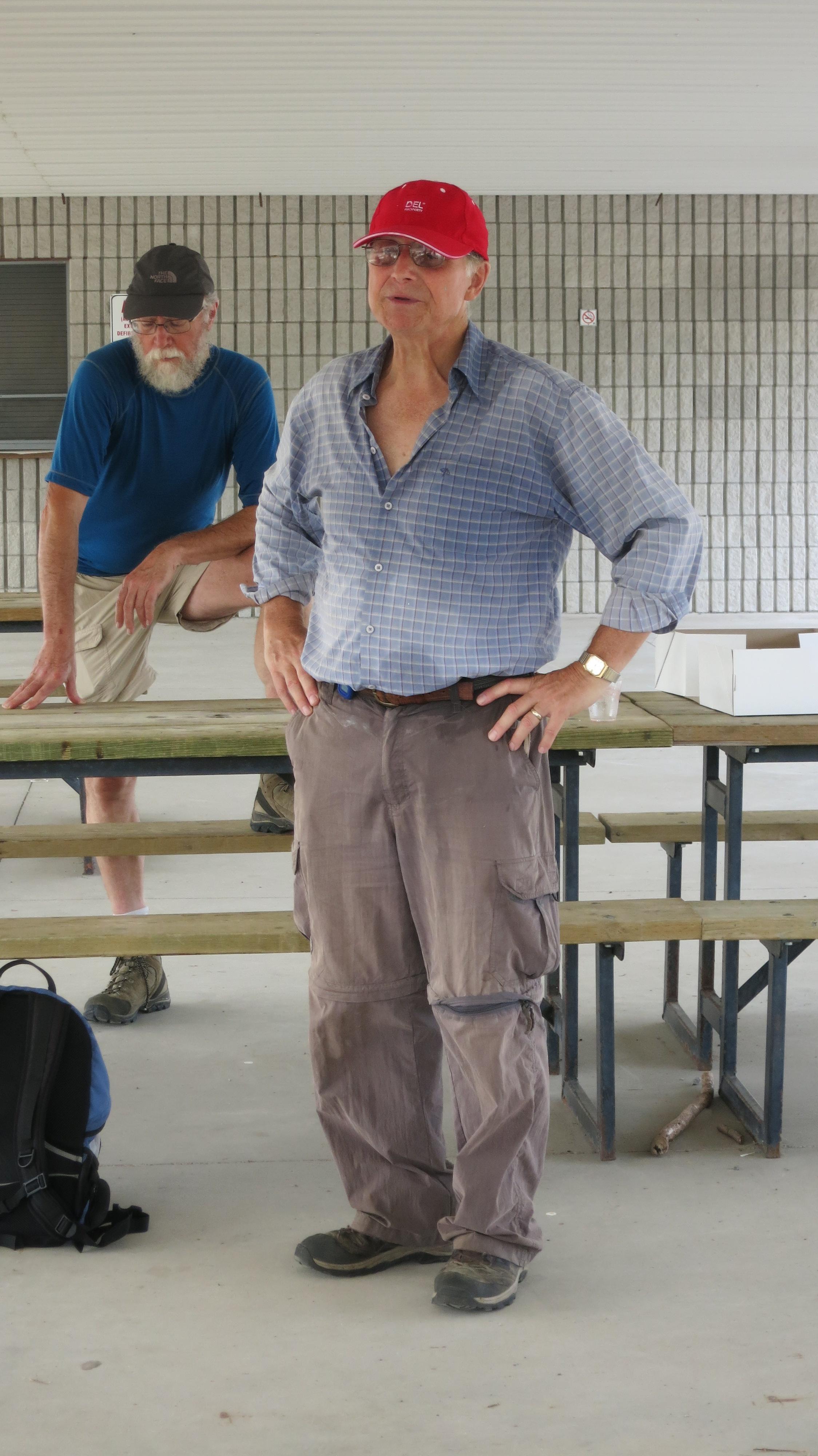
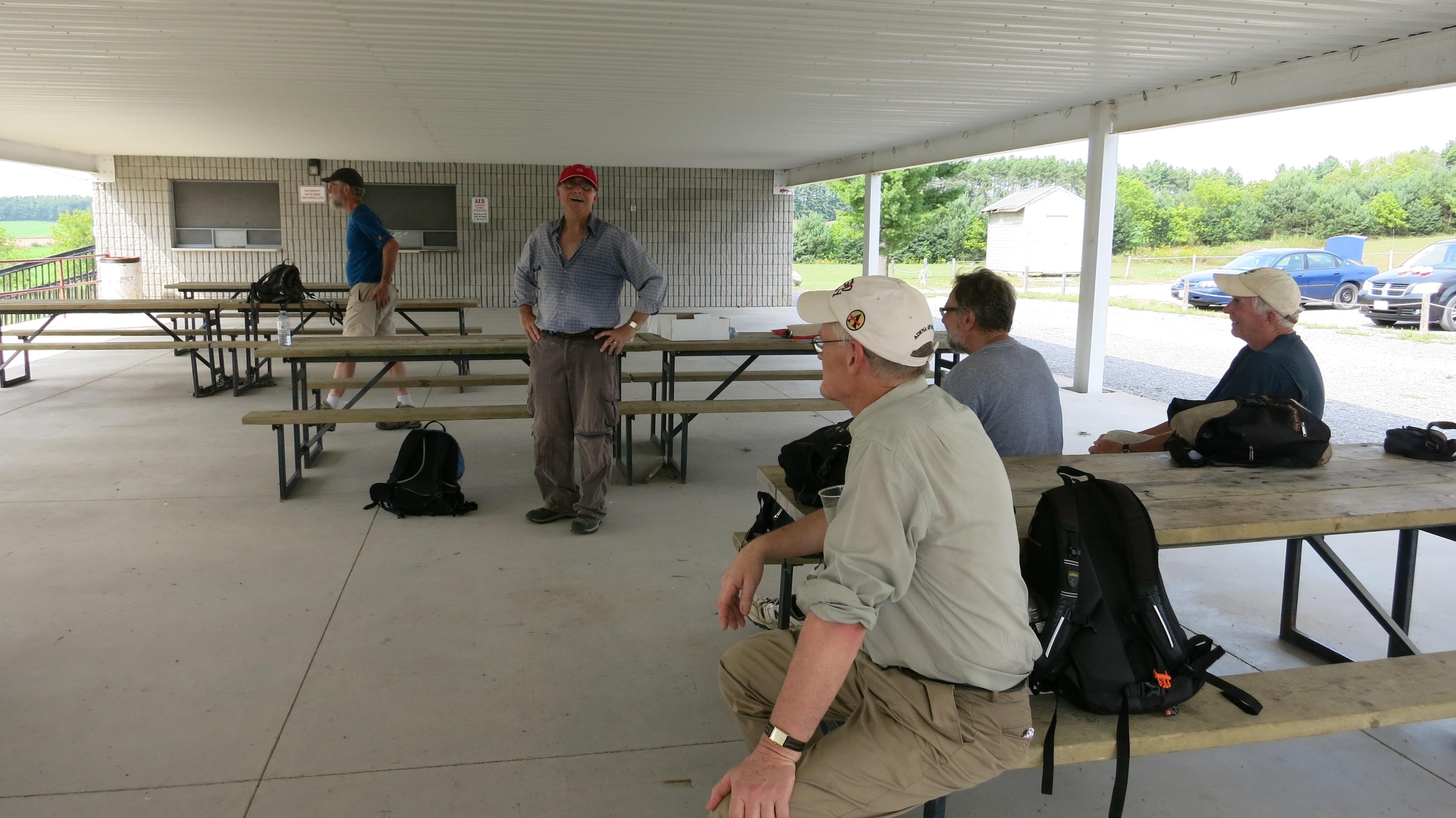
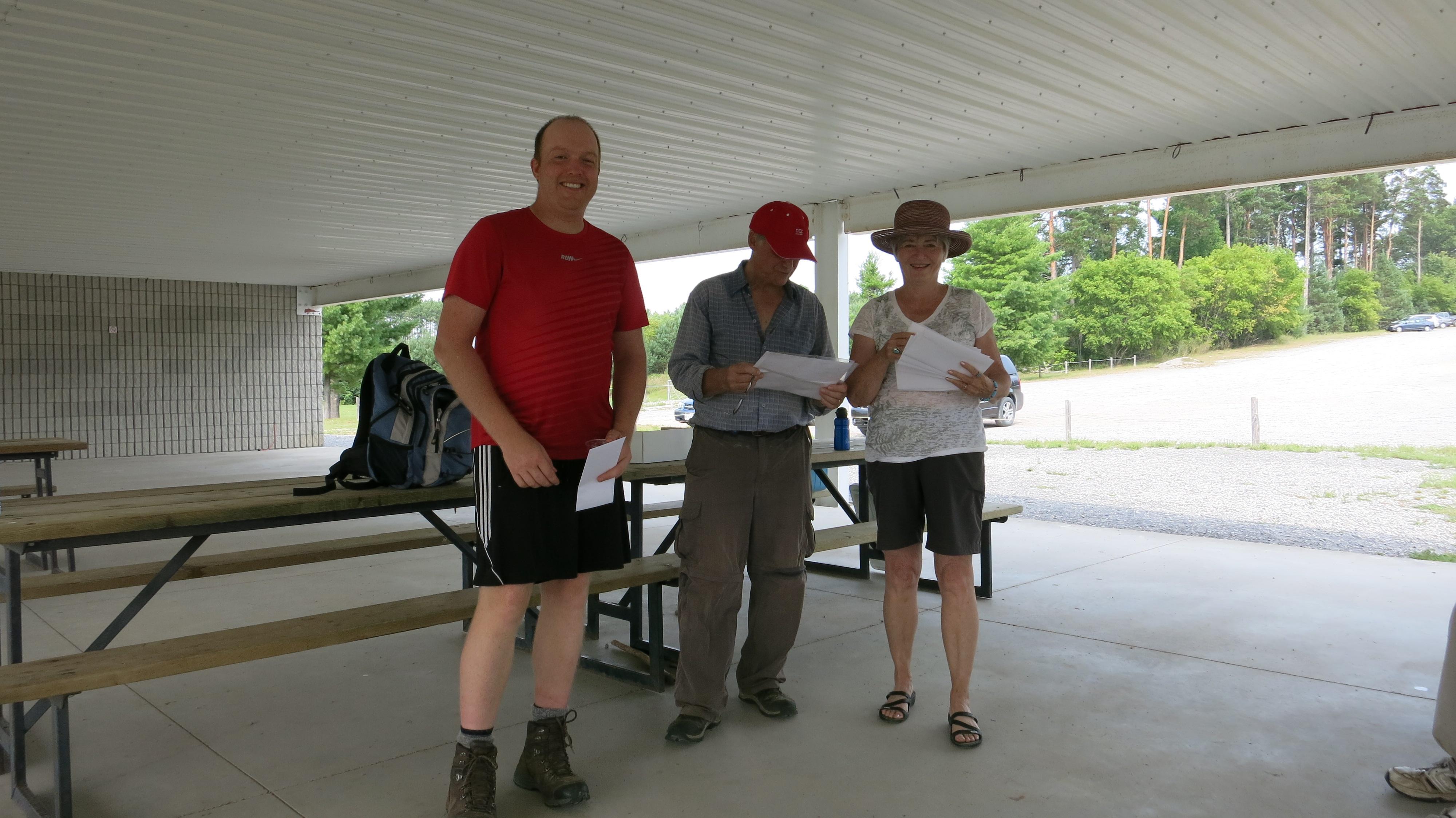
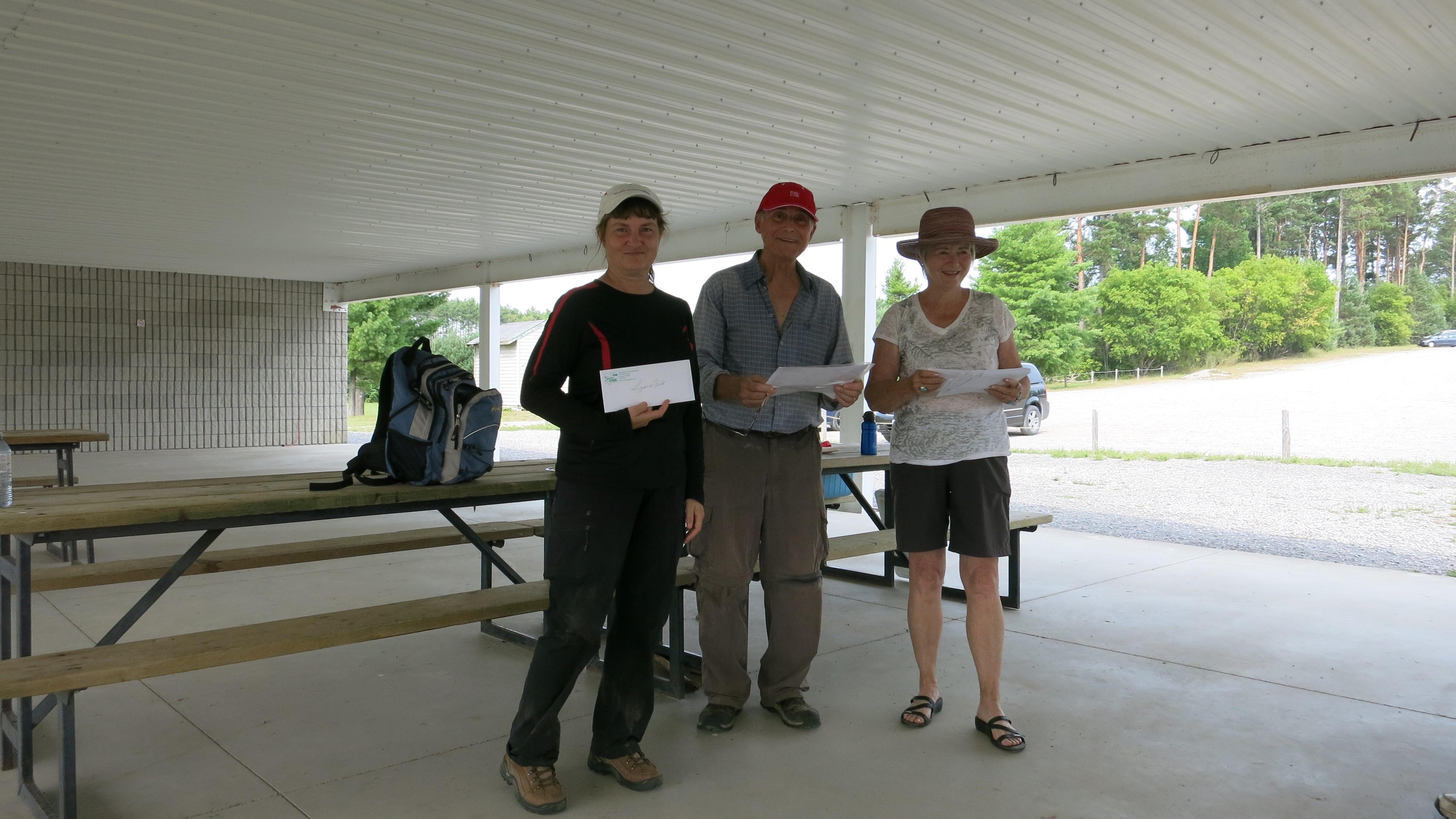
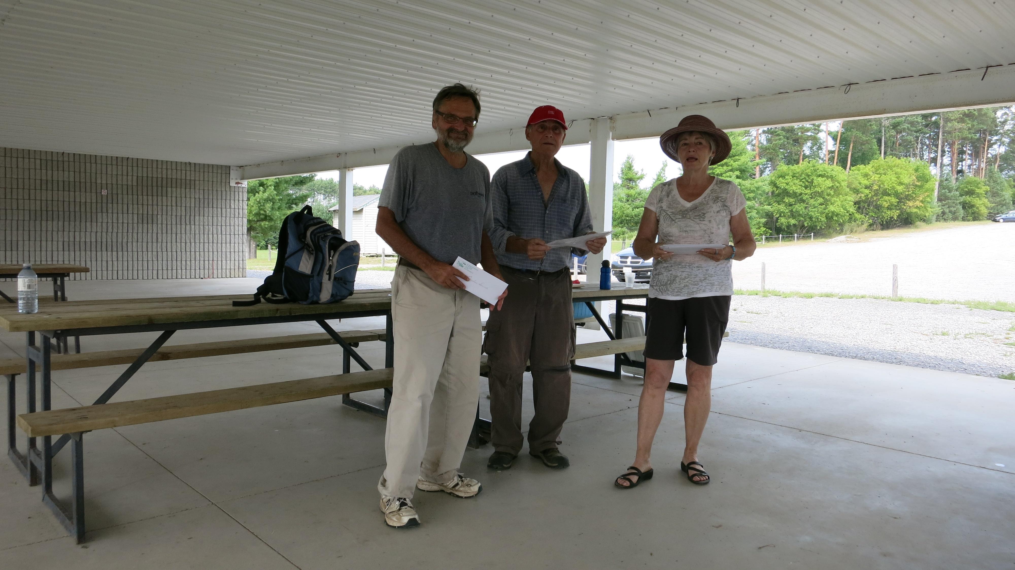
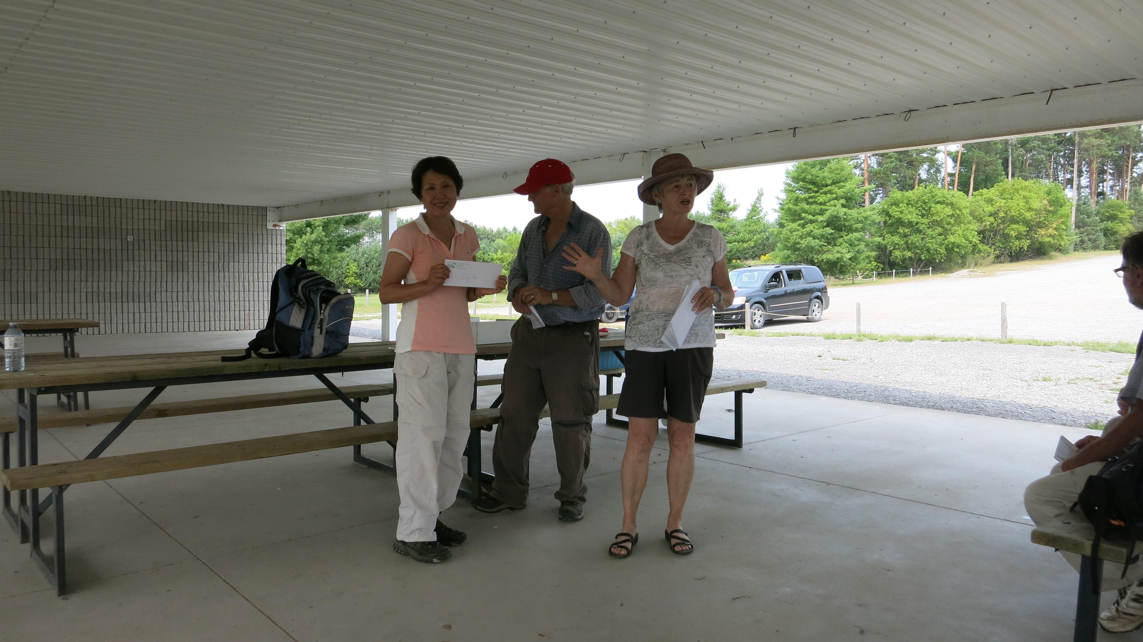
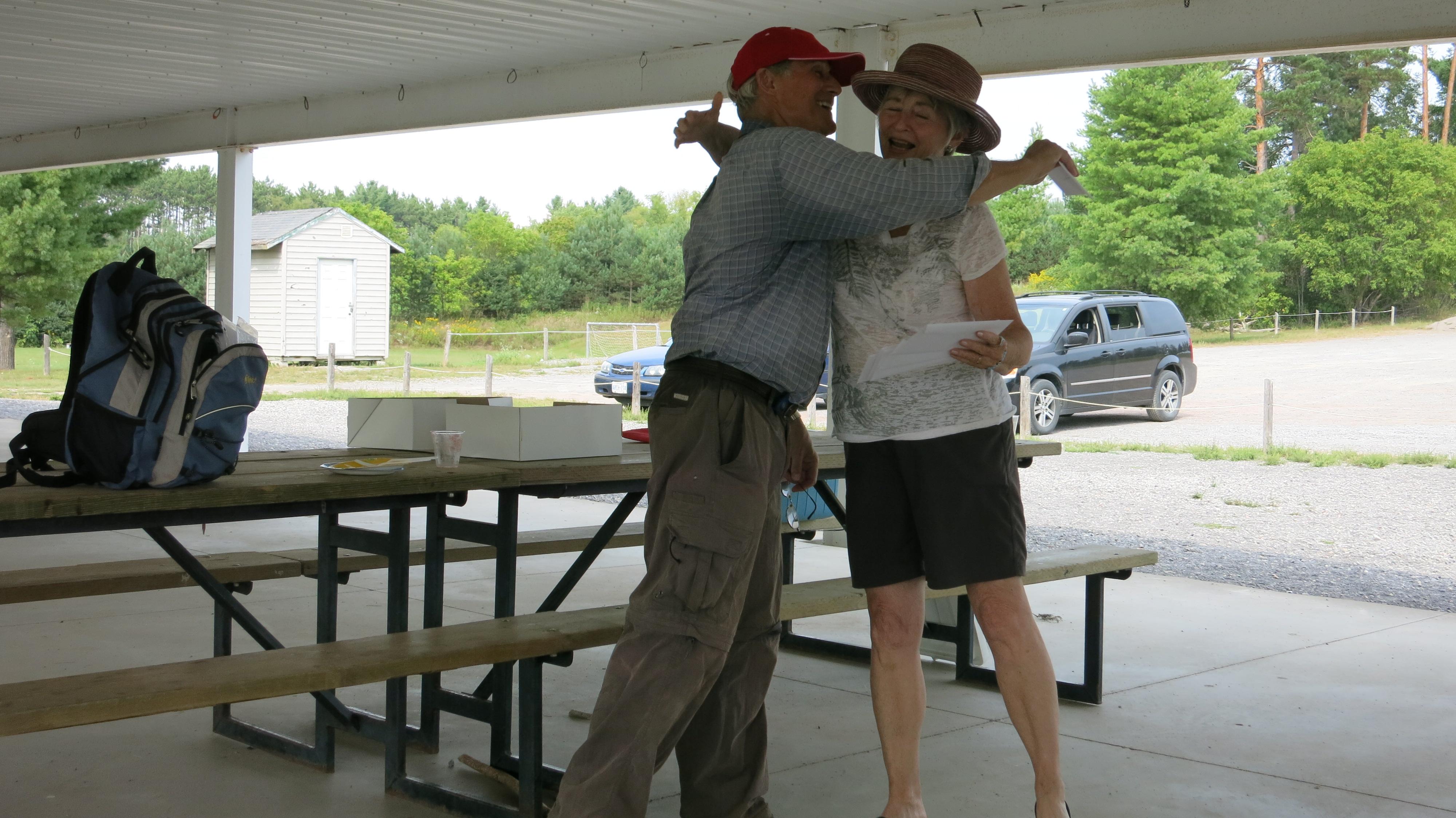
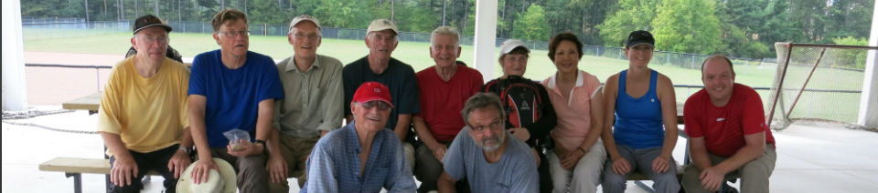
The group arrived at the playing field and kiosk in Castleton at 2:35pm to be welcomed by Wilma and Brian Millage. The threated rain never transpired but all were soaking wet from the exertion of hiking 23 km. on a hot and humid day.
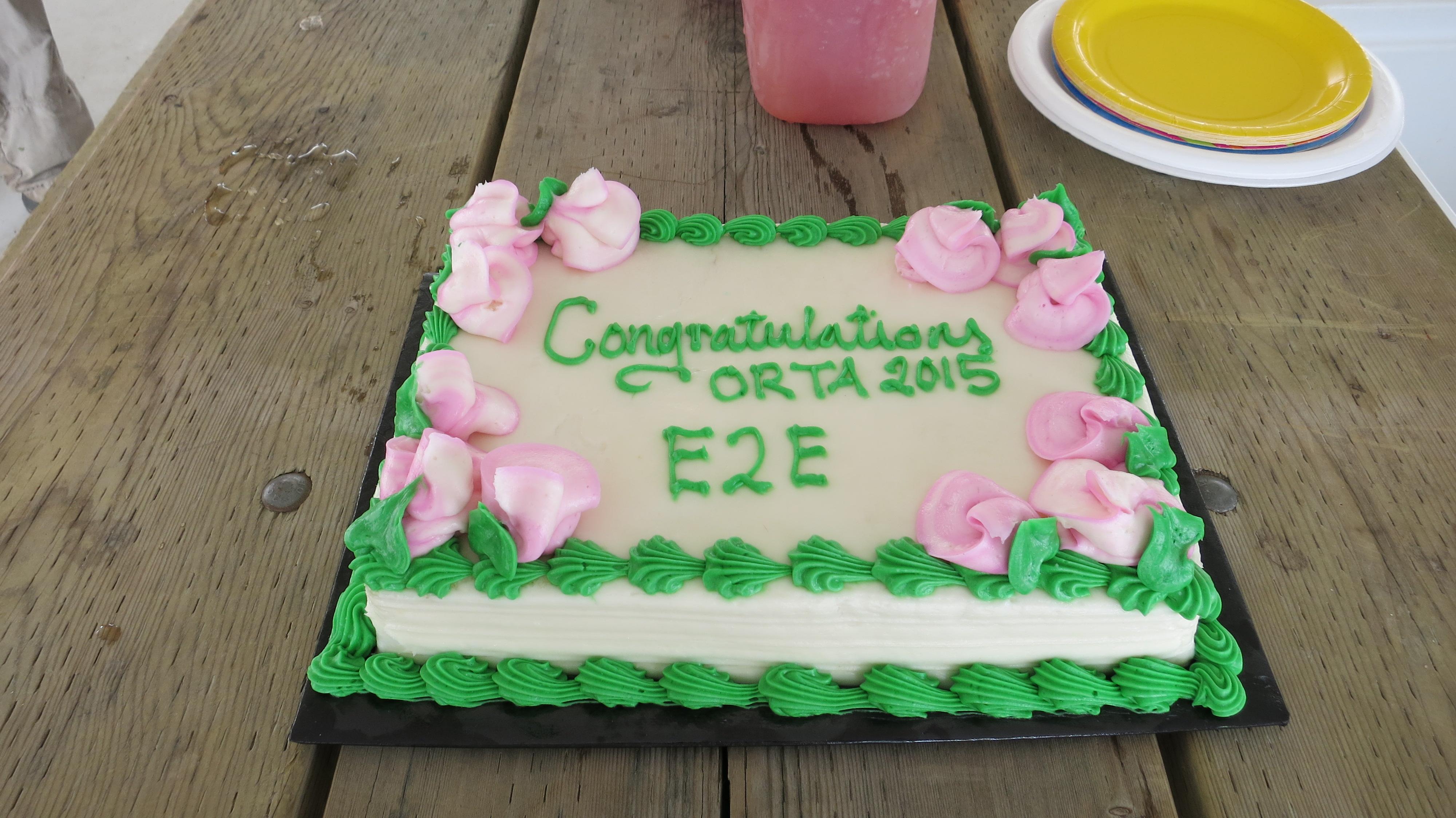
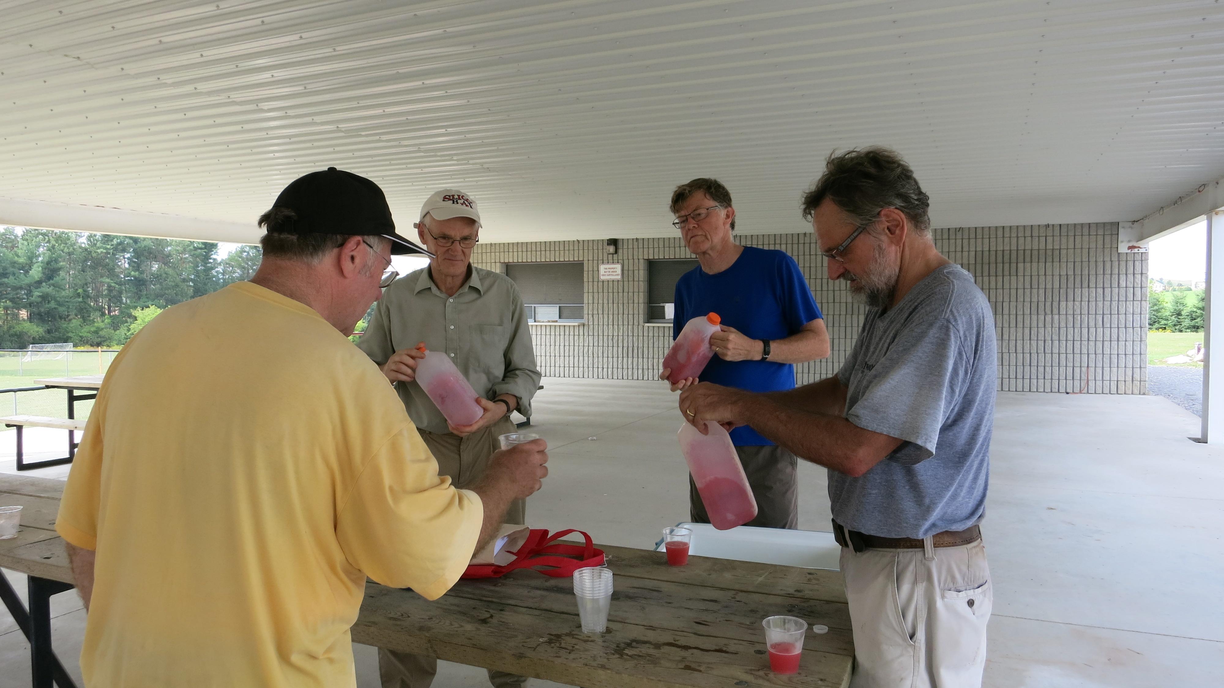
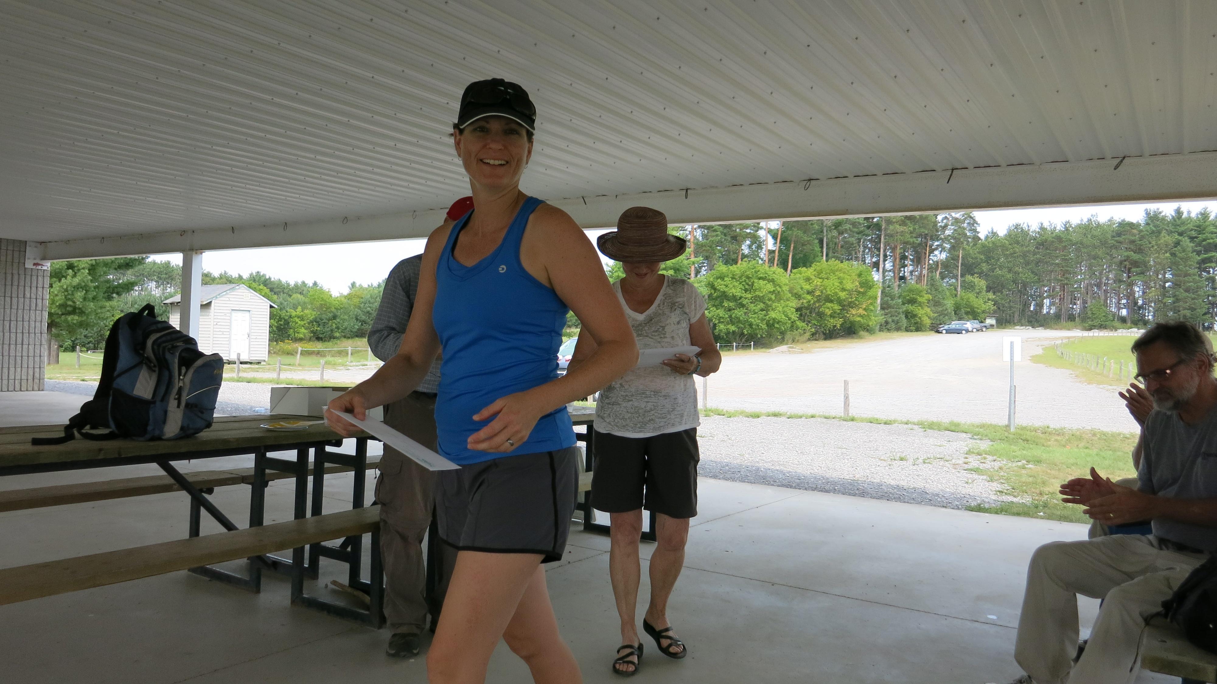
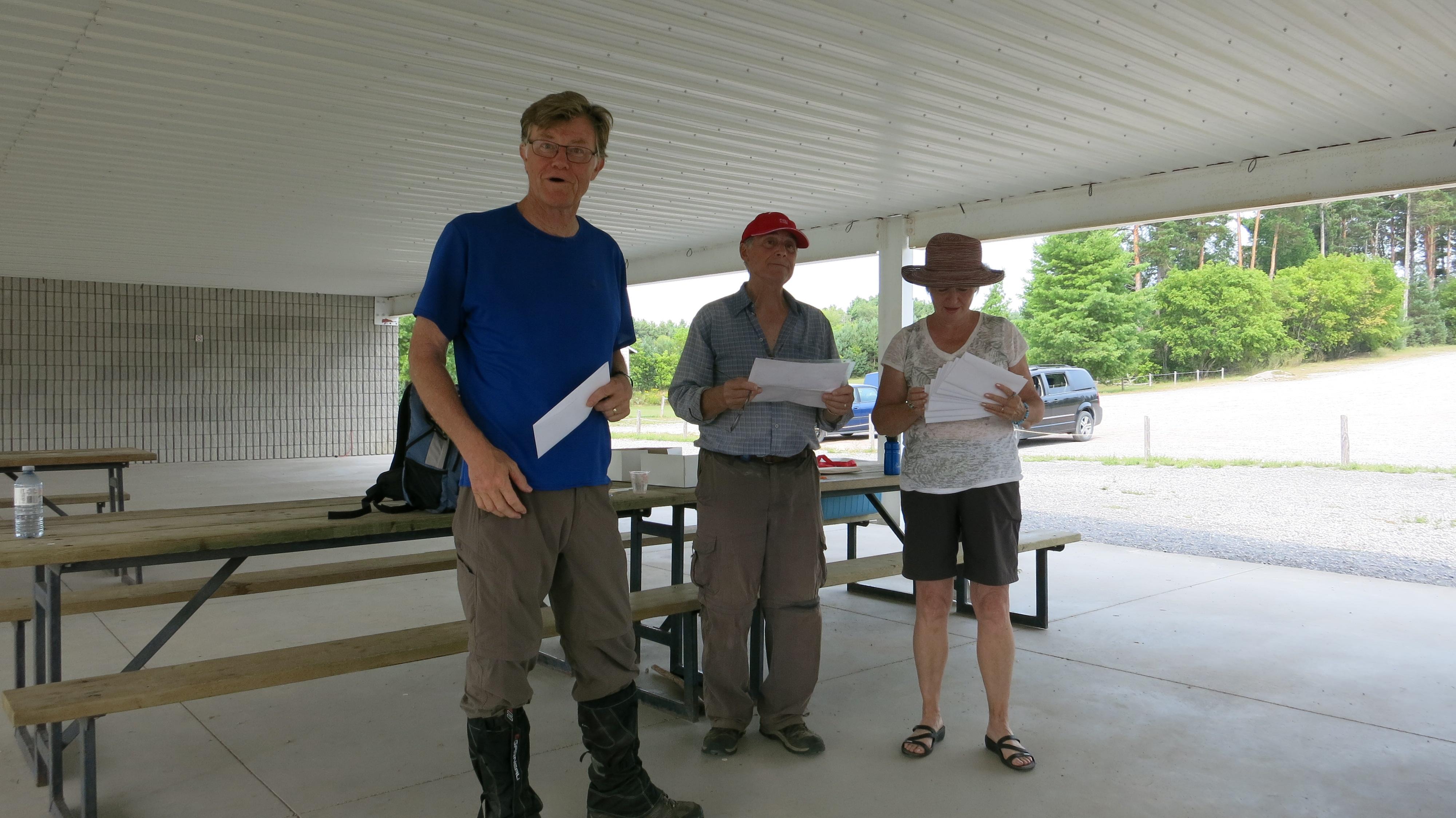
The first order of business was to consume a celebratory cake, washed down with a melon freezy. After refreshments, End to End congratulation letters and chevrons were awarded and photos taken with the kiosk as a background.
The following hikers get a special mention:
Rain man (Burketon): Bill
Impeccable dresser: Vicky
Cool machine (ice pack): Julie
Puddle hopper: Julie
Horticulturist: Cornelius
Trickster: Mike
No speeding tickets: Marco
Pack pony: Mel
Hard core hiker: Suzanne
Jokester: John
See you next year for the E2E reunion hike from Castleton to Warkworth.
Malcolm Hann